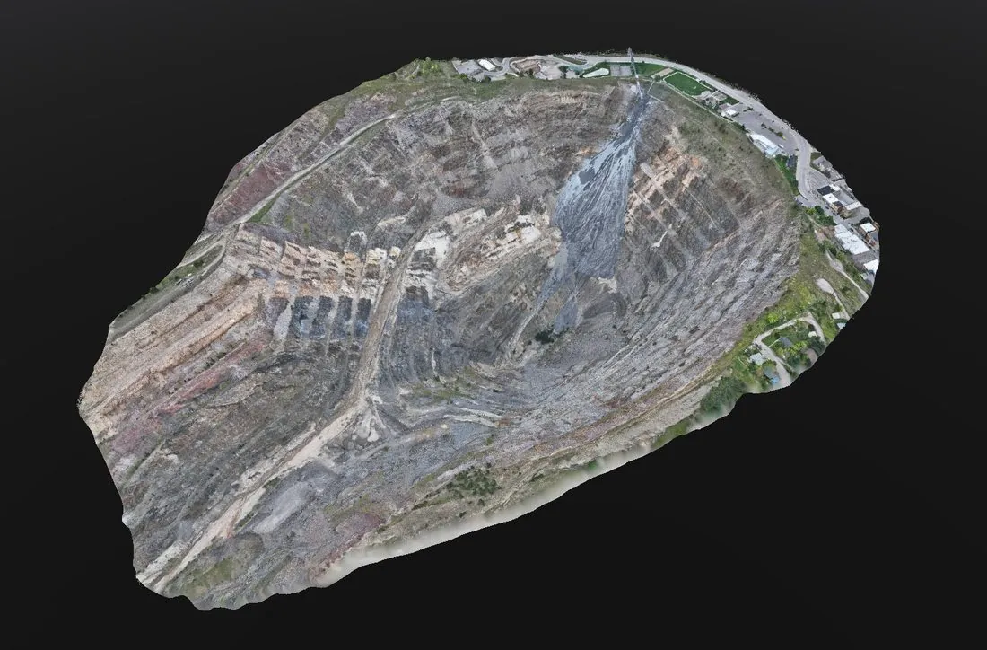
What a Matterport Digital Twin Is
A Matterport scan is a navigable model of a real space that anyone can open in a web browser. You move through it the way you would walk through the building, look in any direction from any scan position, and — because the Pro 3 captures with LiDAR rather than photographs alone — measure between any two points to within a few centimetres. Floor plans, room dimensions, and an exportable point cloud come from the same capture.
It is not a survey-grade scan, and we do not sell it as one. Where a project needs millimetre-class as-built data for design or fabrication, that is a BLK360 job. What Matterport does better than anything else is make a space available: to a facilities team in another city, a contractor pricing a bid without a site visit, an insurer documenting a condition, or a buyer deciding whether to fly in.
Where It Gets Used
Facilities documentation
A dated, measurable record of every room, corridor, mechanical space, and ceiling in a building, updated when the building changes. Space planning, asset location, and "what is behind that panel" questions get answered from a desk.
Construction progress and handover
Scans at framing, rough-in, and close-up preserve what is inside the walls after the walls go up. At handover, the owner receives the building as it was actually built, not as it was drawn.
Pre-bid and pre-mobilization site walks
Subcontractors and estimators walk the space by link. Fewer site visits, fewer surprises, and every trade pricing from the same view.
Commercial property, leasing, and insurance
Listings and tenant prospects tour the space before scheduling a showing. Insurance and property management get a condition record that stands on its own.
Industrial and plant spaces
For process facilities, a twin is often paired with a survey-grade scan: Matterport for the people who need to see and navigate, BLK360 for the engineers who need to model.
How It Works
The Pro 3 scans from a series of positions, each capturing a LiDAR sweep and a full panoramic image. The positions are aligned into a single model, processed, and hosted, and you receive a link. Typical spaces are captured in hours; the model is usually live within a business day of the scan, faster than our standard 72-hour survey turnaround because the processing is largely automated. Access is controlled by you — public, unlisted, or password-protected.
Deliverables
- Hosted 3D walkthrough — a shareable link, embeddable on your own site, with dollhouse, floor-plan, and walkthrough views
- Measurement mode — point-to-point measurements anywhere in the model
- Schematic floor plans — dimensioned 2D plans generated from the scan
- Point cloud export in E57 for use in CAD or GIS, where the project needs it
- Panoramic imagery from every scan position
When We Will Tell You Not to Buy It
If the deliverable is a drawing someone will fabricate from, or a model that has to sit on surveyed control, Matterport is the wrong tool and we will scope the BLK360 instead. If the space is a single room, a phone and a tape measure are cheaper. And a digital twin documents the condition on the day of the scan — it does not update itself, so a building under active construction is scanned at milestones, not once.
Further Reading
3D Laser Scanning — the survey-class side of terrestrial capture: registered BLK360 point clouds and BIM-ready as-builts.