Drone Survey Services in Minneapolis–St. Paul, Minnesota
The Twin Cities are about 240 miles southeast of our West Fargo base on I-94, three and a half hours, and we fly the metro as a regular planned deployment. It is the biggest construction, utility and aggregate market in the Upper Midwest, and it has the most complicated airspace: MSP’s Class B over the core, six reliever airports with their own Class D, and a stadium and event layer on top. We hold the authorizations before we leave, sequence multiple metro sites into one trip, and deliver LiDAR, airborne GPR, bathymetry, stockpile and thermal data within 72 hours.
Work We Do Around Minneapolis–St. Paul
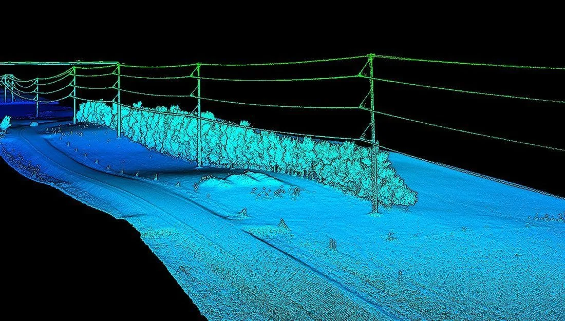
- LiDAR mapping — pre-construction terrain and drainage for sites across the seven-county metro, corridor LiDAR for the transmission and pipeline rights-of-way that ring the cities, and bare-earth models under the oak and maple canopy of the river bluffs and suburbs.
- Drone-based GPR — buried utility screening on redevelopment sites, campuses and industrial parcels before design or excavation, bedrock and till depth for foundations in the river valleys, and void screening under pavement.
- Bathymetric surveys — stormwater pond and wetland basin depth and sediment surveys for MS4 compliance and dredging, lake bathymetry for cities and watershed districts, and river-edge mapping on the Mississippi and Minnesota, without a boat crew. See dredging and sedimentation surveys.
- Stockpile volumetrics — aggregate, sand, salt and recycled-material volumes at the quarries, yards and public works sites that supply the metro, with an auditable per-pile report.
- Thermal inspection — roof moisture and building envelope surveys on commercial and industrial buildings, electrical and substation inspection, and commercial rooftop solar thermography.
- 3D laser scanning — as-built point clouds and Matterport digital twins for renovation, MEP coordination and facilities documentation, joined to the site survey outside.
Why a North Dakota Crew in the Twin Cities
Metro survey work is airspace work first. MSP’s Class B reaches most of Minneapolis, St. Paul, Bloomington, Richfield and Eagan; Flying Cloud, Anoka County–Blaine, Crystal, St. Paul Downtown, Lake Elmo and Airlake each add a Class D block over their suburbs; and downtown stadiums add temporary flight restrictions on event days. We plan every metro site against the current chart, hold LAANC authorization for the exact altitude block, and file for FAA authorization where LAANC does not apply. It is done before we drive, not on site.
The ground is the second thing. The metro sits on river bluffs, glacial till and a lot of fill, with buried infrastructure a century deep in the older cores. Airborne GPR screens a parcel for buried lines and voids before design or excavation; LiDAR gives the terrain under the canopy that photogrammetry misses; bathymetry turns every stormwater pond into a measured volume. We are the operator on every job, not a broker, and the data is processed in West Fargo and back within 72 hours. Northern Drone is a drone data-collection firm, not a licensed land surveying firm; when a Minnesota project requires deliverables certified by a Professional Land Surveyor, we partner with licensed PLS firms who review and stamp the final product.
Service Area Around Minneapolis–St. Paul
From the Twin Cities we cover the seven-county metro of Hennepin, Ramsey, Dakota, Anoka, Washington, Scott and Carver Counties, including Bloomington, Eagan, Burnsville, Plymouth, Maple Grove, Blaine, Woodbury, Lakeville, Shakopee, Chaska and Stillwater, and the exurban ring out to Elk River, Buffalo, Hastings, Northfield and St. Cloud. Statewide, see our Minnesota service page.
Minneapolis–St. Paul Drone Survey FAQ
Yes, as one transparent line item, and we keep it small by batching. A single metro trip often covers a construction site, a quarry inventory and two stormwater ponds for different clients, so the mobilization is shared. Tell us what needs measuring and we will sequence it; multi-site programs in the metro are our normal pattern, not the exception.
Yes. We obtain LAANC authorization for the specific altitude block each site needs, which in the Class B core can be as low as 100 or 200 feet, and plan the survey to that ceiling. Where LAANC is unavailable we file for FAA authorization, which can take weeks, so sites near the airport should be scoped early. Event-day stadium TFRs are checked the morning of the flight.
Yes. Drone bathymetry gives depth, sediment thickness and remaining capacity for each pond without a boat, delivered as contours, cross-sections and a volume table your stormwater engineer can file. Repeat surveys show accumulation rates and schedule dredging on evidence instead of a calendar.
Northern Drone is a drone data-collection firm, not a licensed land surveying firm. When a Twin Cities project requires deliverables certified by a Professional Land Surveyor or Engineer, we perform the field acquisition in partnership with licensed professionals who review and stamp the final product.
Have a Site in The Twin Cities metro?
Tell us where it is and what you need measured. Scoped quote within one business day, with travel shown as one line, not buried in a day rate.
Get a Minneapolis–St. Paul Quote →