Drone Survey Services in Duluth, Minnesota
Duluth is about 250 miles east of our West Fargo base on US-2 and US-10, a planned deployment we pair with Iron Range or North Shore sites. It is the hardest terrain in the state to survey from the ground: a city built on a 600-foot hillside, a working harbor, the lake, and north of it the pits, stockpiles and tailings basins of the Iron Range under boreal canopy. That is LiDAR, bathymetry and stockpile country, and the pipeline corridors that converge on the Twin Ports add depth-of-cover GPR to the list.
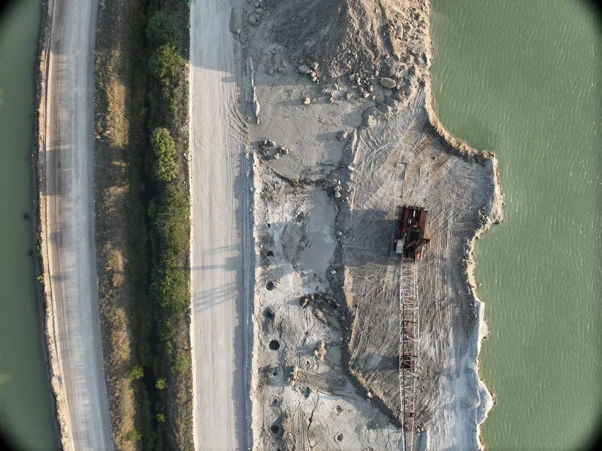
Work We Do Around Duluth
- LiDAR mapping — bare-earth terrain on the hillside and under the pine and aspen canopy, corridor LiDAR for transmission lines, pipelines and rail across St. Louis County, and pre-construction models for sites a ground crew cannot safely walk.
- Stockpile volumetrics — taconite pellet, aggregate, salt and coal volumes at the docks, pits and yards of the Twin Ports and the Range, with an auditable per-pile report flown without stopping loader traffic. See mining and aggregate.
- Bathymetric surveys — harbor slip, marina, river mouth and inland lake depth and sediment mapping, and tailings basin and pit lake surveys on the Range, without a boat crew.
- Pipeline depth of cover — cover-depth profiles along the pipeline corridors that cross northern Minnesota to the Twin Ports, measured from the air. See drone GPR.
- Thermal inspection — roof moisture and envelope surveys on port, industrial and institutional buildings in a climate that finds every leak, and electrical and substation inspection.
Why LiDAR Earns Its Keep in Duluth
Duluth is the clearest case in Minnesota for airborne LiDAR over ground survey. The hillside is steep, wooded and cut by creeks; the Range is pits, dumps and basins under canopy; and the shoreline is rock. A crew on foot measures a fraction of it in a week. A LiDAR flight measures all of it in a day and delivers the bare earth under the trees with checkpoint residuals an engineer can verify. Add bathymetry for the water and stockpile photogrammetry for the piles and the whole Twin Ports industrial landscape is on one coordinate system.
Duluth International Airport has Class D airspace over the top of the hill, and the harbor has its own operating constraints from the port authority and the Coast Guard that we coordinate before flying. We hold LAANC authorization before mobilizing, follow mine and port safety programs on site, and process everything in West Fargo for delivery within 72 hours. Northern Drone is a drone data-collection firm, not a licensed land surveying firm; when a project requires certified deliverables, we partner with licensed professionals who review and stamp the final product.
Service Area Around Duluth
From Duluth we cover Superior, Cloquet, Two Harbors, Silver Bay and the North Shore, Hibbing, Virginia, Eveleth, Mountain Iron, Grand Rapids and the Iron Range, and Hinckley and the I-35 corridor south. Statewide, see our Minnesota service page.
Duluth Drone Survey FAQ
Yes, as one transparent line item, and we pair Duluth with Iron Range, North Shore or Brainerd work on the same trip so it is shared. A week on the Range covering several pits, yards and basins spreads the same mobilization across all of them.
Yes. We follow the mine’s safety program, our pilots carry MSHA Part 46 training, and the aircraft stays out of the haul traffic and the blast schedule. Pit surfaces, dump and stockpile volumes and tailings basin bathymetry are flown on one visit and delivered in the mine’s coordinate system.
With coordination. The airport’s Class D airspace is handled through LAANC; harbor operations are coordinated with the port authority and the terminal operator, and the aircraft stays clear of vessel traffic. Slips, marinas and river mouths are standard drone bathymetry; the open lake is not.
Northern Drone is a drone data-collection firm, not a licensed land surveying firm. When a Duluth project requires deliverables certified by a Professional Land Surveyor or Engineer, we perform the field acquisition in partnership with licensed professionals who review and stamp the final product.
Have a Site in Duluth, the North Shore and the Iron Range?
Tell us where it is and what you need measured. Scoped quote within one business day, with travel shown as one line, not buried in a day rate.
Get a Duluth Quote →