Drone Survey for Construction & Engineering
Accurate terrain before ground is broken, bedrock depth before the drill rig mobilizes, and earthworks volumes tracked against the schedule.
Better Data Before
Ground Is Broken.
Construction rework costs the industry an estimated 5–9% of total project contract value — and nearly half of that is directly attributable to inaccurate or inaccessible site information. Getting the survey right before excavation starts is the single highest-leverage intervention a project team can make.
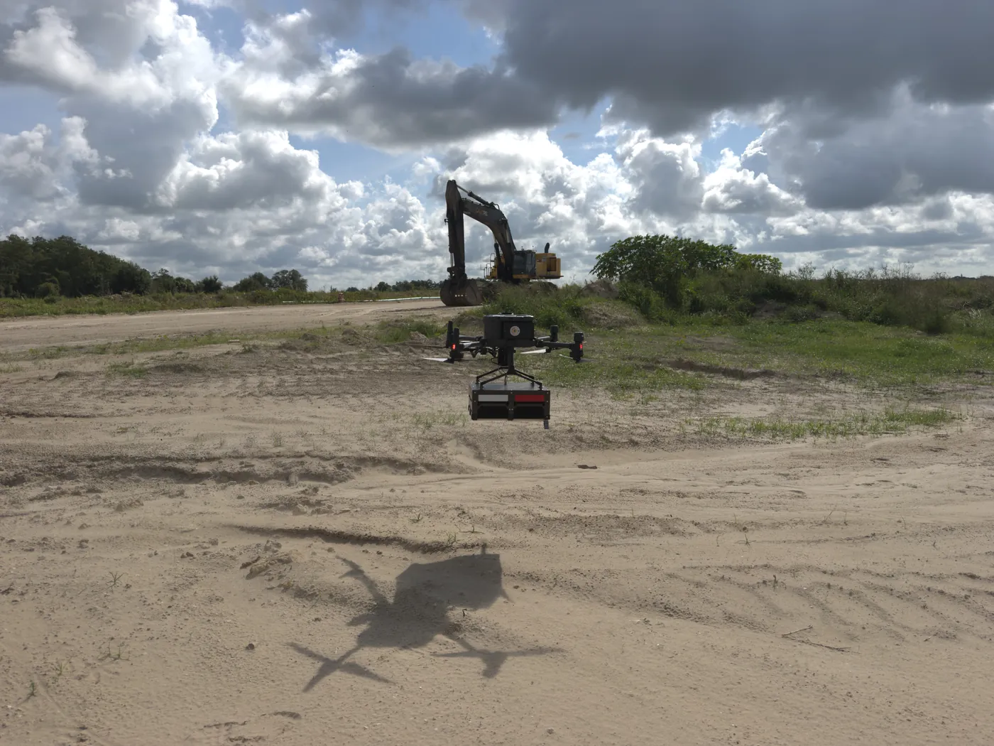
Northern Drone provides LiDAR and photogrammetry-based topographic surveys, cut/fill volume calculations, progress monitoring, and as-built documentation for construction and civil engineering projects of any size. Drone LiDAR achieves 4–5 cm vertical accuracy with RTK correction — meeting ASPRS Positional Accuracy Standards for engineering-grade work — at a fraction of the cost and time of traditional ground crews.
Full DTMs, contour maps, drainage analysis, and cut/fill volume calculations before ground is broken. Drone topo surveys consistently cost 50–75% less than traditional ground survey for sites over 5 acres, with field time reductions of 60–80% — multiple independent industry benchmarks are directionally consistent on this range.
Photogrammetric stockpile volume measurement achieves approximately 1–5% accuracy versus ground survey, with 2% routinely cited as best-in-class under good conditions. We cover active sites without halting operations — giving project managers real inventory numbers on schedule, not estimates.
Regular aerial surveys throughout the project lifecycle create a time-stamped visual and volumetric record. Orthomosaics, point clouds, and 3D models let project managers, engineers, and owners track progress, verify as-built conditions, and identify deviations before they become expensive corrections.
Active excavations, steep slopes, contaminated ground, and bridgework are difficult or dangerous for ground survey crews. Drone platforms access these areas safely and efficiently, reducing the need for personnel in hazardous conditions while providing more complete spatial coverage than ground-based methods alone.
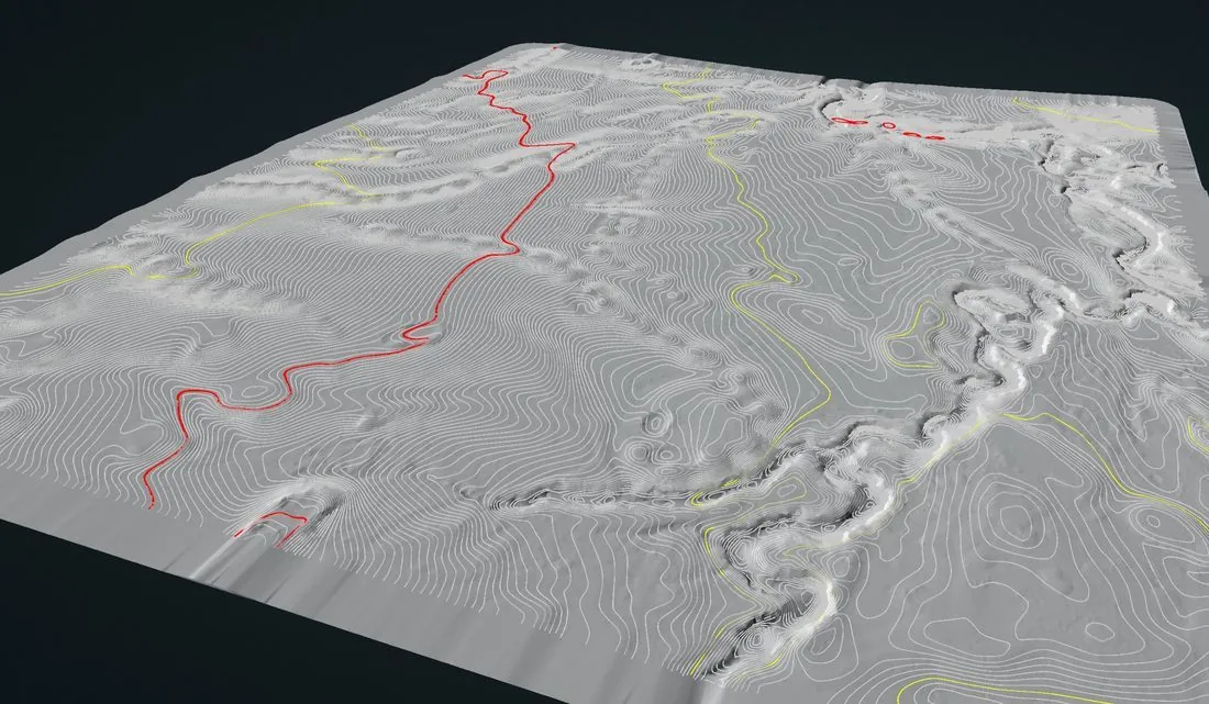
DTM / DEM / DSM, contour maps, cut/fill volumes, orthomosaics, classified LiDAR point clouds (LAS/LAZ), GeoTIFF rasters, DXF/DWG for CAD, KMZ/SHP for GIS, and PDF progress reports. All formatted to integrate with your existing project management and design workflows.
Get the Survey Data Your Project Needs.
Pre-construction topo, progress monitoring, or as-built documentation — we deliver engineering-grade data faster and at lower cost than traditional ground survey. Tell us your project and we'll scope it within one business day.
Questions About Construction Surveys
Working in Construction & Engineering?
Tell us the site, the constraint, and what decision the data has to support. We will scope it honestly — including telling you when a cheaper method would do the job.