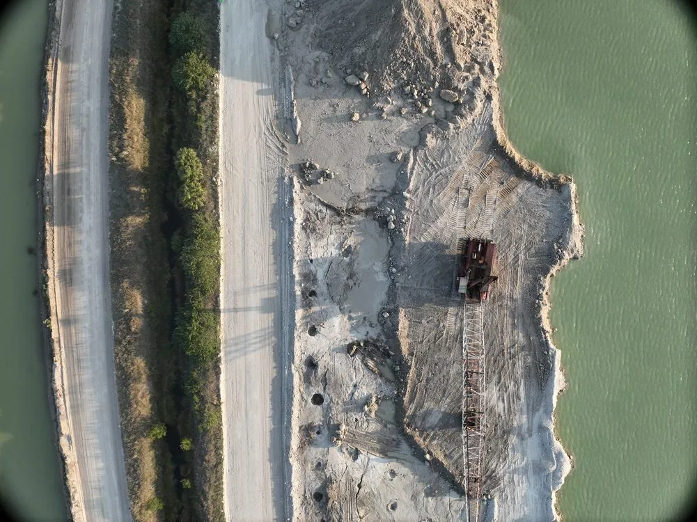
Why Stockpile Numbers Drift
Most operations know roughly what is in the yard. The gap between roughly and actually is where the money goes.
Estimating by truck counts assumes every load was full and nothing was reworked. Estimating by pile geometry — length times width times a height guess, with a cone factor — compounds three separate approximations. Both methods drift over a quarter, and the drift is invisible until an inventory reconciliation or an auditor asks how the number was derived.
Walking the pile with a rover is genuinely accurate, and it is the method we are competing against rather than dismissing. Its costs are practical: a surveyor covering a yard with twenty piles takes a full day or more, personnel are exposed on an active site with moving equipment, and operations often pause to keep the surveyor safe.
What 1–2% Actually Requires
That figure is real and repeatable, but it is conditional. It is not what you get from flying a drone over a yard and pressing export.
- Ground control. For internal period-to-period comparison, relative accuracy holds up well even without control. For contractual or audited volume reporting, surveyed ground control points are not optional.
- A defined base surface. This is the error nobody talks about. Volume is the difference between the pile surface and a reference, and if the reference is a poorly assumed plane, that error propagates through every pile on site. A surveyed toe or a prior surface beats an assumed flat base every time.
- Material texture. Crushed stone and coarse aggregate reconstruct cleanly. Dry fine sand and powdered material are harder — low surface texture gives the image matching little to lock onto.
- Overcast light. Flat light produces the most consistent surfaces. Harsh midday sun creates deep shadows on pile flanks that introduce reconstruction artifacts.
- Pile geometry. Standard conical and windrow piles are straightforward. Piles with vertical faces or undercut from loading cannot be fully seen from directly overhead, so oblique passes are added.
If a volume report does not state what base surface was used, the number cannot be audited. That is the first question a good engineer will ask, and it should be answered in the report rather than in a follow-up email.
How We Fly It
A yard survey is planned so that operations do not have to stop. Flights are scheduled around loading patterns, and multiple piles are captured in a single mission rather than as separate mobilizations.
- RTK base established over control, with independent checkpoints for verification
- High overlap imagery — typically 75–80% frontal and 60–70% lateral — because thin overlap is the most common cause of soft surfaces
- Oblique passes added on piles with steep or undercut faces
- Surface built by dense image matching, then cut against a surveyed toe or a prior surface
- Checkpoint residuals reported rather than withheld
Deliverables
- Volume report per pile, with the reference surface and method stated
- Digital surface model as GeoTIFF, and the point cloud on request
- Breaklines and toe linework as DXF so your engineer can verify the cut
- Orthomosaic of the yard for visual reference and pile identification
- Period-over-period comparison where a prior survey exists, showing movement rather than just current state
- Accuracy statement covering control used and checkpoint residuals
The point of delivering the surface and breaklines alongside the number is that it makes the number auditable. A single figure in an email is not something a finance team or an auditor can stand behind.
Where It Pays Off
Aggregate and quarry operations
Month-end inventory across a multi-pile yard, captured in one flight rather than a day of walking, with no production pause.
Construction earthworks
Cut and fill progress, borrow pit depletion, and material tracking against the earthworks schedule.
Bulk material and salt storage
Seasonal stock verification where the pile is in a shed or bunker and walking it is awkward or unsafe.
Financial and audit reporting
Where the volume feeds a balance sheet, a documented method with stated control matters more than the headline accuracy figure.
When Walking It Is Still Better
A single small pile on an accessible site does not justify a mobilization. Very fine dry material in bright sun is a genuinely difficult photogrammetric target. And if you need volumes inside an enclosed building, this is not the tool. We would rather tell you that before invoicing you.
Further Reading
Drone Stockpile Volumetrics: How Accurate Is It Really? — a longer write-up covering the method, the accuracy numbers, and where it does and does not fit.
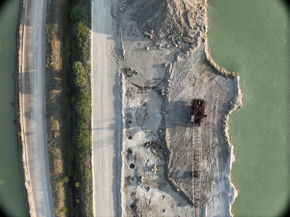
A full yard captured in a single flight, with no crew on the piles and no pause in loading.