Drone Survey Services in South Dakota
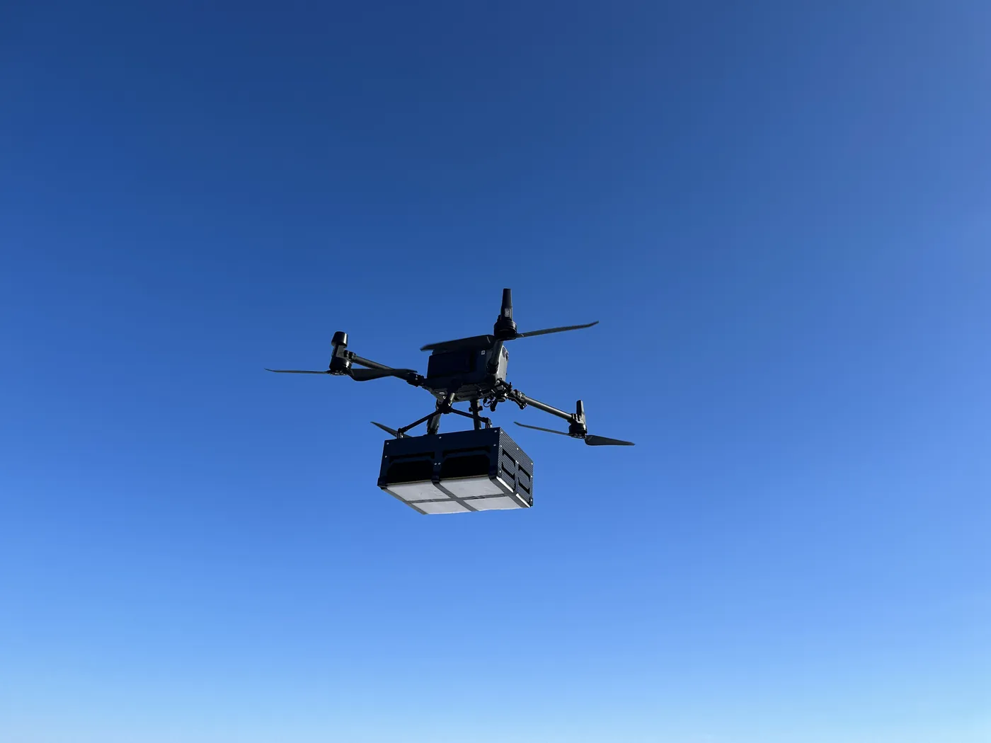
South Dakota is home ground for Northern Drone. We have flown projects in the state, Sioux Falls and Aberdeen sit inside a half-day drive of our West Fargo base, and the rest of it, from the Missouri River reservoirs to the Black Hills, is a planned deployment we schedule several times a season. LiDAR mapping, drone-based GPR, bathymetric surveys, stockpile volumetrics, agricultural surveys, thermal inspection and 3D laser scanning, flown by an FAA Part 107 certified crew with $5M liability coverage and data back within 72 hours.
Work That Fits the State
- LiDAR mapping — bare-earth terrain for drainage, levee and pre-construction design in the Big Sioux and James River valleys, terrain under ponderosa pine in the Black Hills, and corridor LiDAR for the transmission lines, pipelines and wind-farm collection systems crossing the state. See vegetation management LiDAR for utility corridors.
- Drone-based GPR — bedrock and till depth for foundation design, buried utility screening on campus, plant and redevelopment sites, and pipeline depth of cover on the gathering and transmission lines that cross the eastern counties.
- Bathymetric surveys — flooded quarries and gravel pits, stock dams, stormwater basins, reservoir bays and river backwaters mapped without a boat, with volumes and sediment thickness for dewatering, dredging and permit work.
- Stockpile volumetrics — auditable month-end volumes for quartzite, limestone, sand and gravel producers, ethanol and grain piles, salt sheds and the contractor yards that run the state’s road programs.
- Agricultural surveys — calibrated NDVI and NDRE across corn, soybean, wheat, sunflower and alfalfa ground at 1,000+ acres a day, from the Prairie Coteau to the Missouri breaks.
- Thermal inspection — radiometric roof, electrical and solar surveys for commercial buildings, substations, ethanol plants and the solar projects coming online east of the river.
Why a Northern Plains Crew in South Dakota
East River and West River are different survey problems, and we plan them differently. East of the Missouri the ground is glacial: flat valleys, prairie potholes, heavy clay and a few feet of relief deciding where water goes, which makes drainage and flood work a vertical-accuracy problem first. West of the river it is relief, rock and distance: badlands, the Black Hills, and sites an hour from the nearest town. LiDAR with RTK and ground checkpoints handles the first; LiDAR under pine canopy, airborne GPR for bedrock depth and a crew that plans multi-site deployments handles the second.
Sioux Falls and Aberdeen are a half-day drive from West Fargo and we quote them with a modest travel line. Pierre, Rapid City and the Hills are planned deployments, sequenced so that several sites share one mobilization. We hold the LAANC authorizations for the Class D airspace at Sioux Falls and Rapid City, and for Aberdeen’s Class E surface area where it applies, before we leave the shop, and we do not fly the national park and memorial airspace in the Black Hills, which is closed to drones. Northern Drone is a drone data-collection firm, not a licensed land surveying firm; when a project requires deliverables certified by a Professional Land Surveyor or Engineer, we partner with licensed professionals who review and stamp the final product.
Service Area Across South Dakota
Regional scheduling covers Sioux Falls, Brookings, Watertown, Aberdeen, Huron, Mitchell and Yankton, and the I-29 and James River corridors between them. Planned deployments reach Pierre, Chamberlain and the Missouri River reservoirs, Rapid City, Spearfish, Sturgis, the Black Hills and the Badlands. Across the state line we fly North Dakota, Minnesota, Iowa, Nebraska and nationwide.
South Dakota Drone Survey FAQ
Sioux Falls, Brookings, Watertown and Aberdeen are a half-day drive from our West Fargo base and are quoted with one modest travel line rather than a buried day rate. Pierre, Rapid City and the Black Hills are planned deployments; we sequence multiple sites into one trip so the mobilization is shared, and the quote shows it as a single line.
Eastern South Dakota sites are typically scheduled within a week or two of an approved quote, weather and wind permitting. West River deployments usually run inside two to three weeks, faster for time-critical work such as a pit that has to be measured before a sale closes. Data delivery follows our standard 72-hour turnaround, 36 hours with rush processing.
Sioux Falls and Rapid City have towered Class D airspace, and Aberdeen Regional is non-towered with a Class E surface area; we handle all three through LAANC or FAA authorization before mobilizing. Ellsworth Air Force Base east of Rapid City has its own airspace and base-specific coordination that we build into the schedule; sites inside those boundaries are flown only with the required approvals in hand. Mount Rushmore, Badlands and Wind Cave are National Park Service units where drone flight is prohibited, and we do not fly them.
Yes. Corridor LiDAR for collection and transmission lines, terrain models for access roads and pad design, thermal inspection of solar arrays and substations, and stockpile and progress surveys during construction are all standard work for us, and South Dakota has more of it every year.
Northern Drone is a drone data-collection firm, not a licensed land surveying firm. When a South Dakota project requires deliverables certified by a Professional Land Surveyor or Engineer, we perform the field acquisition in partnership with licensed professionals who review and stamp the final product.
Have a Site in South Dakota?
Tell us where it is and what you need measured. Scoped quote within one business day, and an honest answer about whether it is a same-region job or a planned deployment.
Get a South Dakota Quote →