Drone Survey Services in Iowa
Iowa is the fourth state in our home region, and the one with the most ground to measure per square mile: more than twenty million acres of corn and soybeans, the river valleys that flood them, a wind fleet that supplies more of the state’s power than anywhere else in the country, and a construction market in Des Moines, Cedar Rapids, the Quad Cities and Sioux City that runs year round. We fly Iowa as planned deployments from West Fargo, usually several sites per trip. LiDAR mapping, drone-based GPR, bathymetric surveys, stockpile volumetrics, agricultural surveys, thermal inspection and 3D laser scanning, by an FAA Part 107 certified crew with $5M liability coverage and data back within 72 hours.
Work That Fits the State
- Agricultural surveys — calibrated NDVI and NDRE across corn and soybean ground at 1,000+ acres a day, plant counts and stand assessments early, stress and nitrogen mapping in season, and research-grade plot data for seed, input and university trials.
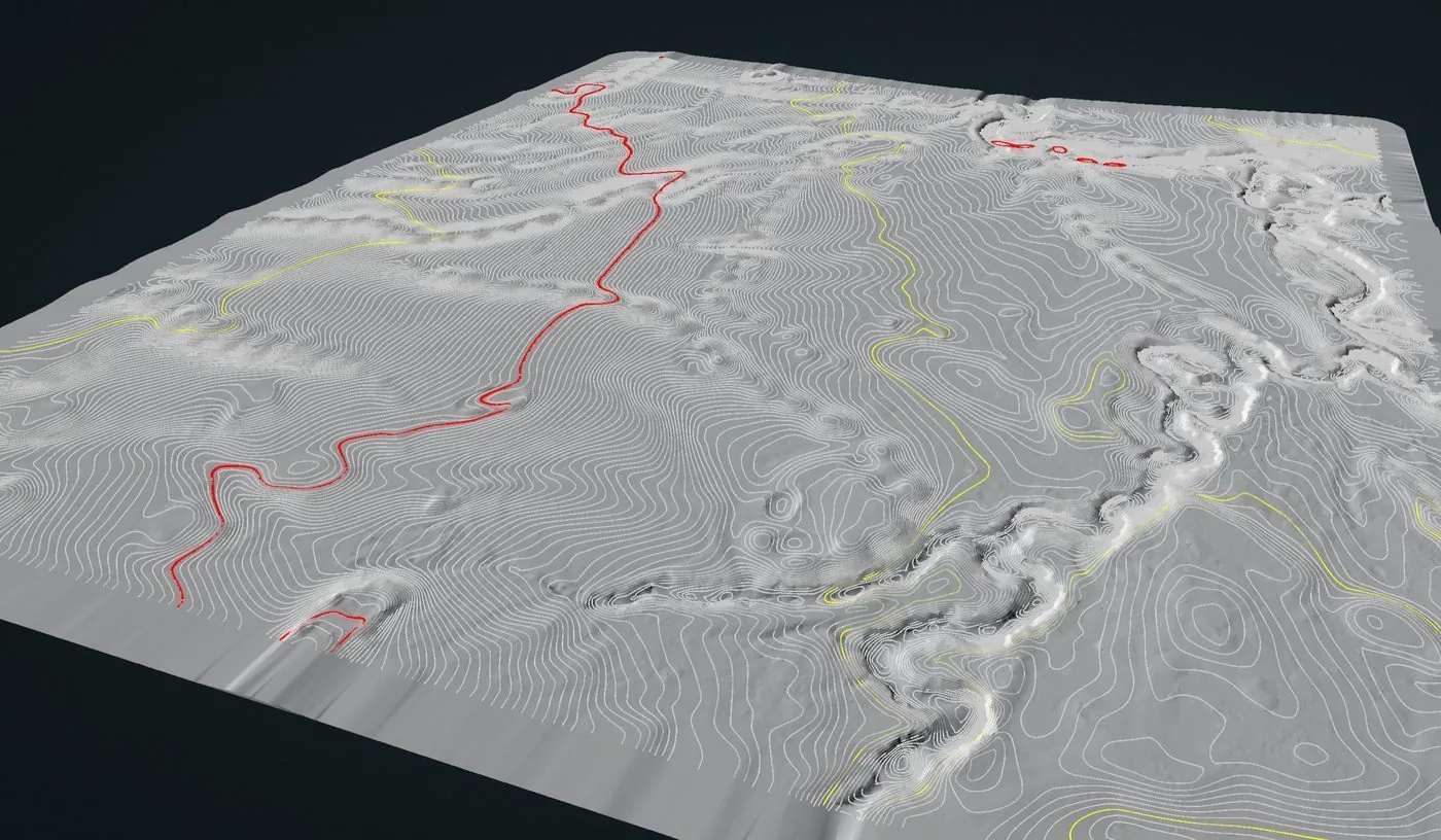
- LiDAR mapping — bare-earth terrain for tile, terrace and drainage design, floodplain and levee surfaces along the Cedar, Iowa, Des Moines, Raccoon and Missouri Rivers, pre-construction models for industrial and data-center sites, and corridor LiDAR for the collection and transmission lines serving the state’s wind farms. See vegetation management LiDAR for utility corridors.
- Drone-based GPR — bedrock depth for foundation design, karst screening in the limestone counties of the northeast, buried utility mapping on campus and redevelopment sites, and pipeline depth of cover on the crude, gas and products lines crossing the state.
- Bathymetric surveys — flooded quarries, borrow pits, farm ponds, detention basins and river backwaters mapped without a boat, with volumes and sediment thickness for dredging, dewatering and permit work.
- Stockpile volumetrics — auditable month-end volumes for limestone, sand and gravel producers, grain and distillers grain piles at ethanol plants and elevators, salt sheds and the contractor yards that run the road programs.
- Thermal inspection — radiometric roof, envelope and electrical surveys for warehouses, plants and institutional buildings, and solar array inspection for the utility-scale projects coming online.
Why a Northern Plains Crew in Iowa
Iowa already has LiDAR; the state flew it between 2007 and 2010, and it is excellent for planning and out of date for design. Terraces have been built, tile has been laid, pits have been dug and filled, and a river has moved through two major floods since then. What a project needs is current, site-specific terrain at a vertical accuracy it can verify, delivered in the project datum within days of the flight, and that is what we fly: RTK LiDAR with independent ground checkpoints and the residuals on the report. In the growing season the same crew flies multispectral across the row-crop counties at 1,000+ acres a day.
We schedule Iowa as deployments from West Fargo. Sioux City is a half-day drive; Des Moines, Cedar Rapids and the Quad Cities are a full day, so we sequence several sites into one trip and show the travel as a single line. Des Moines International and the Eastern Iowa Airport have Class C airspace, Sioux City Gateway is Class D, Davenport Municipal has a Class E surface area, and we hold the LAANC authorizations before we leave. Northern Drone is a drone data-collection firm, not a licensed land surveying firm; when a project requires deliverables certified by a Professional Land Surveyor or Engineer, we partner with licensed professionals who review and stamp the final product.
Service Area Across Iowa
Our closest Iowa work is Sioux City and the northwest counties along I-29, a half-day drive from West Fargo and often paired with Sioux Falls. Planned deployments reach Des Moines and central Iowa, Ames, Mason City and Fort Dodge, Cedar Rapids and Iowa City, Waterloo, Dubuque, and Davenport and the Quad Cities. Across the state line we fly South Dakota, Minnesota, Nebraska, Illinois and nationwide.
Iowa Drone Survey FAQ
Yes, as one transparent line. Sioux City and the northwest counties are a half-day drive and quoted with a modest travel line. Des Moines, Cedar Rapids and the Quad Cities are planned deployments; we sequence several sites into one trip so the mobilization is shared, and the quote shows it as a single line rather than a buried day rate.
Northwest Iowa sites are typically scheduled within a week or two of an approved quote. Central and eastern Iowa deployments usually run inside two to three weeks, faster for time-critical work such as a flood response or a pit that has to be measured before a sale closes. Data delivery follows our standard 72-hour turnaround, 36 hours with rush processing.
Yes, with authorization. Des Moines International and the Eastern Iowa Airport are Class C, Quad City International is Class C, Sioux City Gateway is Class D, and Davenport Municipal has a Class E surface area. We obtain LAANC authorization for the altitude block each site needs during mission planning, so the flight is approved before we arrive.
Yes. Multispectral and RGB data at plot scale with radiometric calibration, repeat flights through the season on a fixed schedule, and deliverables organized by plot ID so they drop straight into the trial database. We scope the flight plan with the agronomist so the data answers the question the trial is asking.
Northern Drone is a drone data-collection firm, not a licensed land surveying firm. When an Iowa project requires deliverables certified by a Professional Land Surveyor or Engineer, we perform the field acquisition in partnership with licensed professionals who review and stamp the final product.
Have a Site in Iowa?
Tell us where it is and what you need measured. Scoped quote within one business day, and an honest answer about whether it is a same-region job or a planned deployment.
Get an Iowa Quote →