Drone Survey Services in Rapid City, South Dakota
Rapid City is the far end of our Northern Plains territory, about 590 miles and a full day from West Fargo, so we fly it as a planned deployment and we make the trip count: several sites, several days, one mobilization. It is worth the drive. The Black Hills are the highest ground between the Rockies and the Appalachians, with the survey problems to match: terrain under ponderosa pine, limestone and granite close to the surface, canyon-bottom construction, the Rapid Creek floodplain and a construction market driven by the base expansion at Ellsworth, tourism and a growing city. LiDAR, airborne GPR, quarry and stockpile work, bathymetry and thermal.
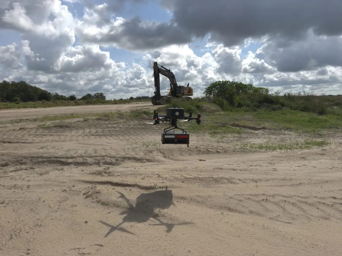
Work We Do Around Rapid City
- LiDAR mapping — bare-earth terrain under pine canopy for subdivision, resort and road design in the Hills, floodplain and channel surfaces along Rapid Creek, and corridor LiDAR for the lines and pipelines crossing Pennington and Meade Counties.
- Drone-based GPR — limestone and granite bedrock depth for foundation design, karst and void screening on the limestone plateau, and buried utility mapping on campus, hospital and redevelopment sites.
- Quarry and pit surveys — limestone, aggregate and sand pit surveys with pit faces, floors and stockpiles in one flight, plus the auditable per-pile stockpile report a month-end close needs.
- Bathymetric surveys — stock dams, reservoir bays, flooded pits and detention basins mapped without a boat, with sediment thickness and capacity for dredging and permit work.
- Thermal inspection — roof, envelope and electrical surveys on commercial, hospitality and institutional buildings, and solar and substation inspection.
Why a Planned Deployment Beats a Local Guess
Black Hills ground hides from a camera. Photogrammetry sees the top of the pine canopy and the shadows in the draws; it cannot measure the ground under them, which is where the road, the lot and the drainage go. LiDAR can. Our sensor records multiple returns per pulse, the ground returns are classified out, and the result is a bare-earth surface with checkpoint residuals on the report. On the limestone plateau, airborne GPR adds the depth-to-rock surface and flags the voids that no site plan wants to find later.
Rapid City Regional has Class D airspace southeast of the city, Ellsworth Air Force Base has its own, and Mount Rushmore, Wind Cave, Jewel Cave and the Badlands are National Park Service units where drone flight is prohibited; we plan around all of it before we leave West Fargo. Black Hills National Forest and state land are flyable with the usual rules. Because the drive is long, we schedule the trip with a weather window and more than one site, so a windy day costs a reshuffle rather than a second mobilization. Data is processed in West Fargo and back within 72 hours. Northern Drone is a drone data-collection firm, not a licensed land surveying firm; when a project requires certified deliverables, we partner with licensed professionals who review and stamp the final product.
Service Area Around Rapid City
From Rapid City we cover Box Elder and Ellsworth, Sturgis, Spearfish, Lead, Deadwood and Belle Fourche in the northern Hills, Hill City, Keystone, Custer and Hot Springs to the south, Wall, Philip and the Badlands rim to the east, and the ranch and energy country toward Belle Fourche and the Wyoming line. Statewide, see our South Dakota service page.
Rapid City Drone Survey FAQ
Yes, as one transparent line. Rapid City is about 590 miles from our base, so we fly it as a planned deployment and batch sites: a subdivision in the Hills, a quarry, a corridor and a stock dam can all share one trip. Tell us everything that needs measuring and we will sequence it; the more that goes on the trip, the smaller the travel share on each site.
Most of it. Black Hills National Forest, state land, private land and the cities are flyable under Part 107 with the usual authorizations. Mount Rushmore National Memorial, Wind Cave, Jewel Cave and Badlands National Park are National Park Service units closed to drone launch and landing, and we do not fly them. Near Rapid City Regional and Ellsworth we obtain the required authorization before mobilizing.
Yes, as long as there are gaps in the canopy for the pulses to reach the ground, and ponderosa stands usually have them. We fly tighter line spacing and lower altitude in heavy canopy, classify the ground returns, and report the checkpoint residuals so you can see the accuracy rather than take it on trust. Where canopy is truly closed we say so and show the gaps in the surface.
Northern Drone is a drone data-collection firm, not a licensed land surveying firm. When a Rapid City project requires deliverables certified by a Professional Land Surveyor or Engineer, we perform the field acquisition in partnership with licensed professionals who review and stamp the final product.
Have a Site in Rapid City and the Black Hills?
Tell us where it is and what you need measured. Scoped quote within one business day, with travel shown as one line, not buried in a day rate.
Get a Rapid City Quote →