Blog & Resources
Industry insights, technical explainers, and practical guides from the field — covering LiDAR, drone GPR, bathymetrics, stockpile volumetrics, and more.
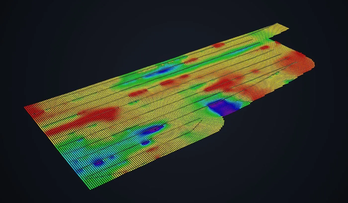
Drone GPR for Bedrock Depth: Reading the Data
What a processed bedrock surface actually shows, the two checks that separate real geology from processing artifacts, and why the flight lines should stay visible.
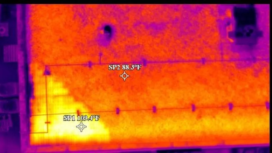
Thermal Roof Surveys: Does Moisture Read Warm or Cool?
Both, depending on when the roof was flown. Why the capture window inverts the anomaly — and why a report that omits it cannot be assessed.
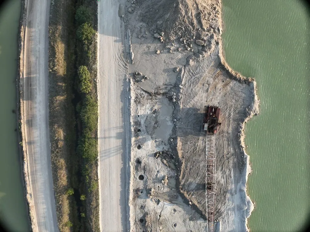
Drone Stockpile Volumetrics: How Accurate Is It Really — And Is It Right for Your Operation?
Manual stockpile estimates are costing aggregate and mining operations more than they realize. Here's an honest breakdown of what drone photogrammetry can and can't do — with real accuracy numbers, not marketing fluff.
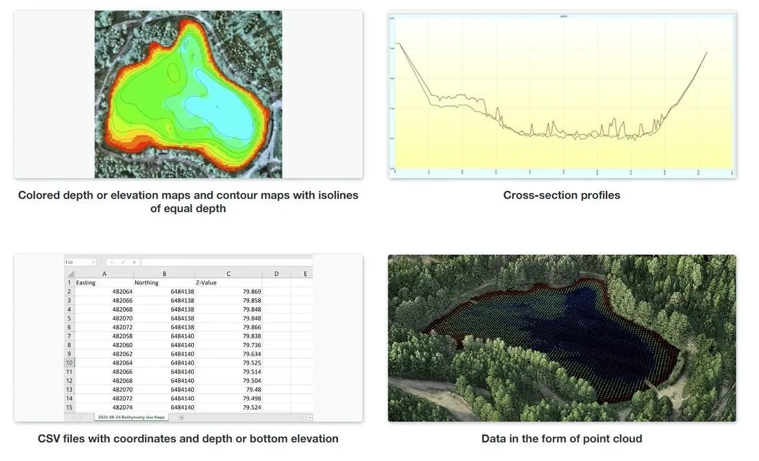
Drone Bathymetric Surveys: Mapping Flooded Pits, Ponds and Waterways Without a Boat Crew
How drone-mounted echo sounders map flooded quarry pits, mine voids, ponds and waterways to IHO S-44 standards — no dive crew, no boat, no shutdown.
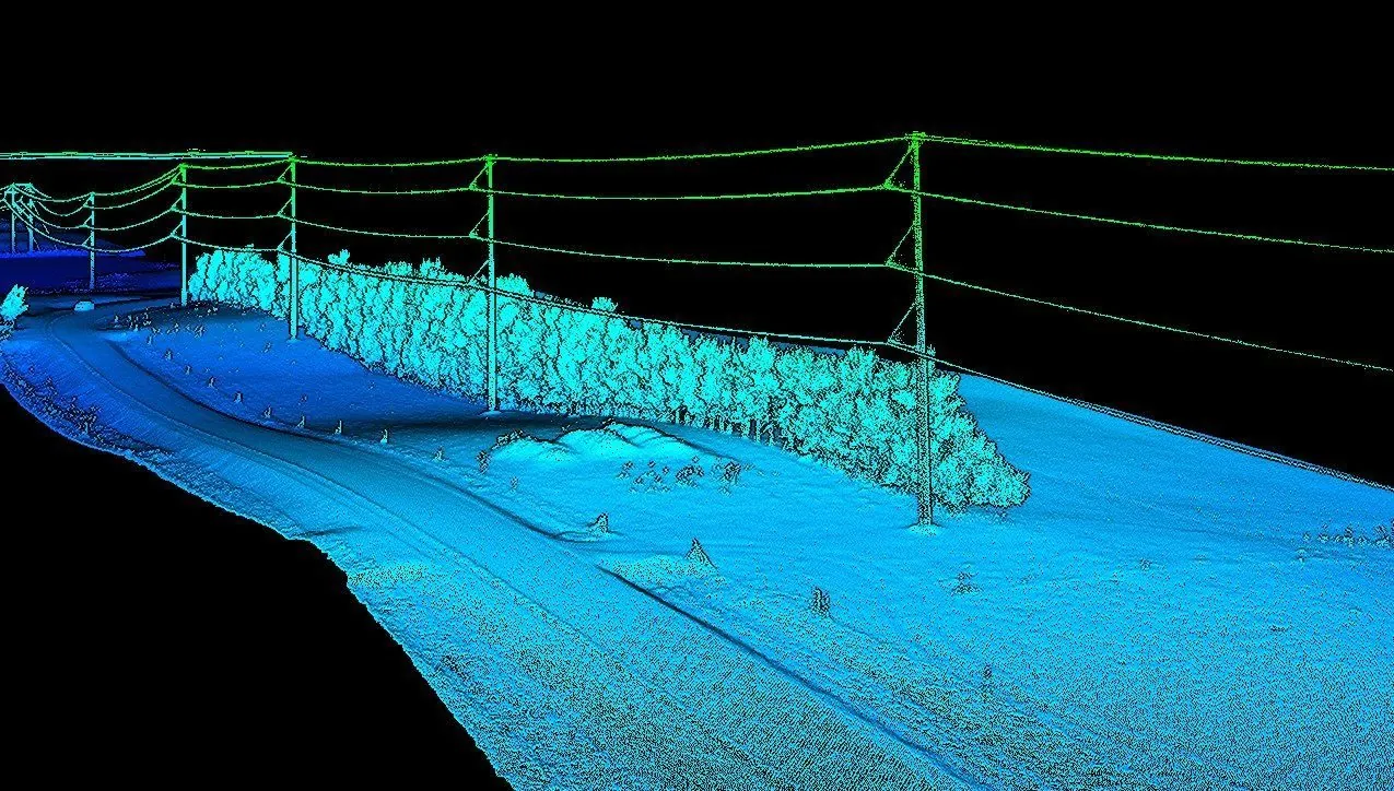
Drone LiDAR Mapping: Seeing Through the Canopy to True Bare Earth
Why LiDAR succeeds where photogrammetry fails under vegetation, what ±2–5 cm accuracy actually means in the field, and when the extra cost is worth it.