Drone Survey Services in Sioux City, Iowa
Sioux City is our closest Iowa metro, about 325 miles down I-29 from West Fargo, a half-day drive we quote with a modest travel line and often pair with Sioux Falls. Siouxland is a tri-state market: the Missouri River and its floodplain on one side, the Loess Hills rising straight out of it on the other, ag-processing and ethanol plants along the river in all three states, the I-29 corridor that keeps getting rebuilt, and the corn and soybean counties of northwest Iowa behind it all. Riverfront LiDAR and bathymetry, terrain under the Loess Hills’ oak and prairie, airborne GPR, stockpiles and agricultural surveys are what we fly here.
Work We Do Around Sioux City
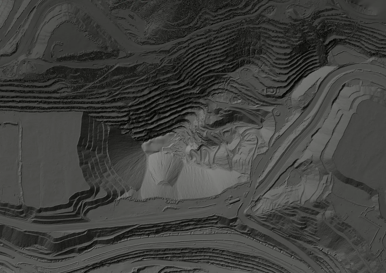
- LiDAR mapping — floodplain, levee and channel surfaces along the Missouri and Big Sioux Rivers in the project datum, bare-earth terrain on the steep, erodible Loess Hills for road, subdivision and erosion-control design, pre-construction models for industrial and plant sites, and corridor LiDAR for the lines crossing Woodbury and Plymouth Counties.
- Agricultural surveys — calibrated NDVI and NDRE across the corn and soybean ground of Woodbury, Plymouth, Sioux and Monona Counties, 1,000+ acres a day in season, with plant counts and stand assessments early and stress mapping later.
- Bathymetric surveys — river backwaters, oxbows, borrow pits, detention basins and flooded gravel pits mapped without a boat, with capacity and sediment thickness for stormwater, dredging and permit work.
- Drone-based GPR — loess and alluvium depth to bearing layers for foundation design, buried utility screening on plant, campus and redevelopment sites, and depth of cover on the pipelines crossing the river valley.
- Stockpile volumetrics — grain, distillers grain, aggregate, salt and process-pile volumes for the plants, elevators, producers and county yards across Siouxland.
Why a Northern Plains Crew in Sioux City
The Loess Hills are the survey problem that makes Sioux City different. The soil is wind-blown silt that stands in near-vertical cuts and fails without warning when it gets wet, so a road, a lot or a drainage structure on the hillside starts with a terrain model that is current and accurate under the oak and prairie cover. LiDAR gives that; a camera gives the top of the canopy. Down on the floodplain the problem flips to the Missouri, which rewrote its banks in 2011, 2019 and 2024 and will again, and current levee and floodplain surfaces in the project datum are what the engineer needs.
Sioux City Gateway has Class D airspace over the south side of the city and the Air National Guard’s 185th flies out of it, so sites along the river south of downtown need LAANC authorization, which we hold before we mobilize. Nebraska and South Dakota sites across the river are the same trip and the same crew. Data is processed in West Fargo and back within 72 hours. Northern Drone is a drone data-collection firm, not a licensed land surveying firm; when a project requires certified deliverables, we partner with licensed professionals who review and stamp the final product.
Service Area Around Sioux City
From Sioux City we cover Sergeant Bluff, Le Mars, Sioux Center, Orange City, Cherokee, Storm Lake and Onawa in Iowa, South Sioux City, Dakota City and Wayne in Nebraska, and North Sioux City, Vermillion and Yankton in South Dakota. Statewide, see our Iowa service page.
Sioux City Drone Survey FAQ
A modest line item. Sioux City is about 325 miles from our West Fargo base on I-29, quoted as one transparent travel line, and we routinely pair it with Sioux Falls or northwest Iowa sites on the same trip so it is shared.
Yes. SUX has Class D controlled airspace covering the south side of the city and the river corridor below downtown. We obtain LAANC authorization for the altitude block each site needs during mission planning, so the flight is approved before we arrive. Most of the north side, the Loess Hills and the farm counties are uncontrolled.
Yes. Siouxland is one market to us: South Sioux City, Dakota City, North Sioux City, Vermillion and Yankton are flown on the same deployment by the same crew, and the travel line is shared across them. Part 107 is federal, so the state line changes the surveyor we partner with for stamped work, not the flight.
Northern Drone is a drone data-collection firm, not a licensed land surveying firm. When a Sioux City project requires deliverables certified by a Professional Land Surveyor or Engineer, we perform the field acquisition in partnership with licensed professionals who review and stamp the final product.
Have a Site in Siouxland?
Tell us where it is and what you need measured. Scoped quote within one business day, with travel shown as one line, not buried in a day rate.
Get a Sioux City Quote →