Drone Survey Services in Davenport, Iowa
Davenport is the far corner of our Iowa territory, about 630 miles from West Fargo and a full day’s drive, so we fly the Quad Cities as a planned deployment and usually pair it with Cedar Rapids or Iowa City. The river is the reason to come. The Mississippi runs east to west here, Davenport faces it without a permanent floodwall, the locks and dams, bridges, terminals and riverfront construction on both banks all need current terrain and bottom data, and the limestone under Scott County supports some of the largest quarry and underground mining operations in the Midwest. Riverfront LiDAR and bathymetry, airborne GPR, quarry and stockpile work, bridge and corridor surveys, by a Northern Plains crew.
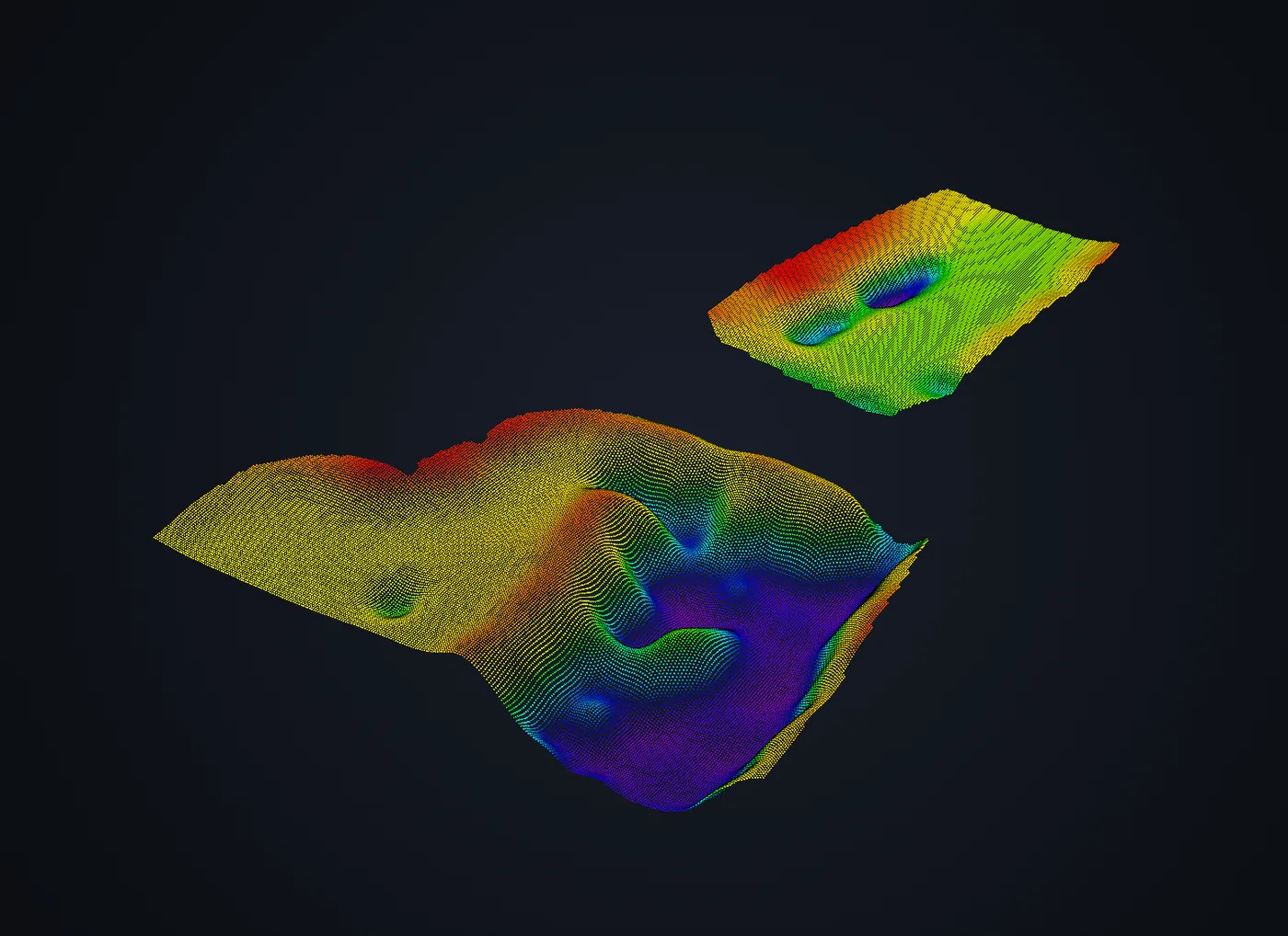
Work We Do Around Davenport
- LiDAR mapping — riverfront, floodplain and temporary-barrier surfaces along the Mississippi in the project datum, pre-construction terrain for industrial, logistics and campus sites, bridge approach and corridor surveys, and corridor LiDAR for the lines crossing Scott and Rock Island Counties.
- Bathymetric surveys — backwaters, sloughs, marinas, terminal approaches and harbor areas off the main channel mapped without a boat, plus flooded quarries and borrow pits, with capacity and sediment thickness for dredging and permit work. The main navigation channel is a different survey and we say so at scoping.
- Drone-based GPR — limestone bedrock depth for foundation design, void and karst screening over the mined ground south and west of the city, and buried utility mapping on plant, campus and riverfront redevelopment sites.
- Quarry and pit surveys — limestone, sand and gravel pit surveys with faces, floors and stockpiles in one flight, plus the auditable per-pile stockpile report a month-end close needs.
- Thermal inspection — roof moisture, envelope and electrical surveys on plants, warehouses and institutional buildings on both sides of the river, and solar and substation inspection.
Why a Planned Deployment in the Quad Cities
Davenport manages the Mississippi with temporary barriers and a close eye on the gauge, which means riverfront elevation is not a one-time survey here; it is something the city, the terminals and the riverfront owners need to know to a few centimeters, as the ground is this season. We fly RTK LiDAR with independent checkpoints along the riverfront and deliver it in the project datum, and the drone echo sounder adds the backwater and harbor bottom on the same coordinate system, so a barrier plan, a dock permit and a dredging estimate come from one survey.
The airspace is layered: Davenport Municipal, north of the city, is non-towered with a Class E surface area, and Quad City International across the river in Moline has Class C airspace that reaches over the Illinois bank and parts of the river. We obtain LAANC authorization for the altitude block each site needs before mobilizing. Rock Island Arsenal is federal property with its own rules, and we fly near it only with the approvals it requires. Because the drive is long, we schedule the trip with a weather window and several sites. Data is processed in West Fargo and back within 72 hours. Northern Drone is a drone data-collection firm, not a licensed land surveying firm; when a project requires certified deliverables, we partner with licensed professionals who review and stamp the final product.
Service Area Around Davenport
From Davenport we cover Bettendorf, LeClaire, Eldridge, Blue Grass, Buffalo and Muscatine on the Iowa side, Rock Island, Moline and East Moline across the river, Clinton upriver, and the limestone and row-crop counties of eastern Iowa and western Illinois. Statewide, see our Iowa service page.
Davenport Drone Survey FAQ
Yes, as one transparent line. The Quad Cities are about 630 miles from our base, so we fly them as a planned deployment, usually paired with Cedar Rapids or Iowa City, and batch sites on both sides of the river. The more that goes on the trip, the smaller the travel share on each site.
Yes, with authorization where it applies. Quad City International’s Class C airspace reaches over parts of the river and the Illinois bank, and Davenport Municipal, north of the city, has a Class E surface area; we obtain LAANC authorization for each site during mission planning. Flights near Rock Island Arsenal and the locks and dams are coordinated with the responsible agency before we arrive.
Backwaters, sloughs, marinas, terminal approaches and harbor areas off the main channel, yes; that is standard drone bathymetry, delivered as contours, cross-sections and volumes on the same datum as the riverfront LiDAR. The main navigation channel at high flow is a different survey with different equipment, and we say so at scoping rather than overpromise.
Northern Drone is a drone data-collection firm, not a licensed land surveying firm. When a Davenport project requires deliverables certified by a Professional Land Surveyor or Engineer, we perform the field acquisition in partnership with licensed professionals who review and stamp the final product.
Have a Site in The Quad Cities?
Tell us where it is and what you need measured. Scoped quote within one business day, with travel shown as one line, not buried in a day rate.
Get a Davenport Quote →