Drone Survey Services in Aberdeen, South Dakota
Aberdeen is about 200 miles southwest of West Fargo, three and a half hours on the two-lanes, which puts it inside our regional schedule with a modest travel line. The James River valley around it is some of the flattest, wettest and most productive farm ground in the Dakotas: corn, soybeans, wheat and sunflowers across Brown, Spink and Day Counties, prairie potholes in every quarter section, the river itself barely moving through the middle, and a growing ring of wind farms, ethanol plants and grain terminals around the city. Agricultural surveys, LiDAR for drainage and wetlands, airborne GPR, stockpiles and corridor work are what we fly here.
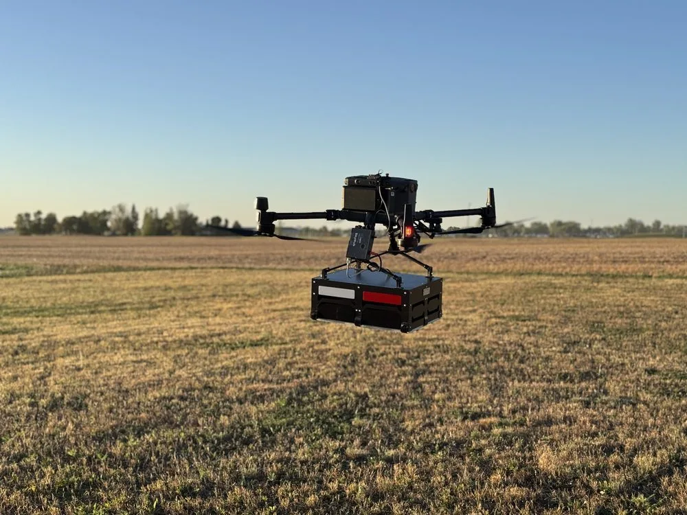
Work We Do Around Aberdeen
- Agricultural surveys — calibrated NDVI and NDRE across corn, soybean, spring wheat and sunflower acres in Brown, Spink, Day, Edmunds and McPherson Counties, 1,000+ acres a day during the season, with plant counts and stand assessments early and stress mapping later.
- LiDAR mapping — bare-earth drainage models on ground with a few feet of relief per mile, pothole and wetland delineation support, tile and ditch design surfaces, and corridor LiDAR for the collection lines and transmission ties serving the wind farms around the city.
- Drone-based GPR — till depth and buried utility screening on plant, campus and city sites, peat and wetland profiling before road and pad construction, and depth of cover on the pipelines crossing the valley.
- Stockpile volumetrics — grain, distillers grain, aggregate and salt pile volumes for elevators, ethanol plants, producers and county yards across the region.
- Bathymetric surveys — stock dams, stormwater basins, gravel pits and slough crossings mapped without a boat, with volumes and sediment thickness.
Why a Red River Valley Crew in Aberdeen
The James River valley has the same problem the Red River Valley does, and we have flown that ground for years: it is so flat that a few centimeters of elevation decide where water sits, which makes drainage work a vertical-accuracy problem before it is anything else. Our LiDAR is flown with RTK positioning and independent ground checkpoints and delivered with the residuals, so a tile design, a pothole delineation or a pad elevation starts from a number an engineer can verify. In the growing season, the same crew flies multispectral across the valley at 1,000+ acres a day.
Aberdeen Regional sits on the east side of the city, non-towered with a Class E surface area, and we handle it through LAANC where it applies before mobilizing; most farm and wind sites are well outside it. Wind-farm work follows the owner’s site safety program, and corridor flights are planned with the line crews so the schedule holds. Data is processed in West Fargo and back within 72 hours. Northern Drone is a drone data-collection firm, not a licensed land surveying firm; when a project requires certified deliverables, we partner with licensed professionals who review and stamp the final product.
Service Area Around Aberdeen
From Aberdeen we cover Groton, Redfield, Ipswich, Webster, Britton and Sisseton, Mobridge and the Missouri River to the west, Huron and the James River south to Mitchell, and Watertown and the I-29 corridor to the east. Statewide, see our South Dakota service page.
Aberdeen Drone Survey FAQ
A modest line item. Aberdeen is about 200 miles from our West Fargo base, quoted as one transparent travel line, and we routinely pair it with Watertown, Huron or Red River Valley sites on the same trip so it is shared.
Multispectral crop surveys run 1,000+ acres a day per aircraft in normal wind, with radiometric calibration so fields flown in the morning and the afternoon compare honestly. LiDAR covers less ground per day because it flies lower and tighter; a typical drainage project of a few hundred acres is a one-day flight.
We provide the data, not the determination. Bare-earth LiDAR shows the depressions and their spill elevations to a few centimeters, multispectral shows where the vegetation changes, and airborne GPR can profile organic depth under a crossing. A wetland scientist makes the call; our deliverables give them the terrain to make it from.
Northern Drone is a drone data-collection firm, not a licensed land surveying firm. When an Aberdeen project requires deliverables certified by a Professional Land Surveyor or Engineer, we perform the field acquisition in partnership with licensed professionals who review and stamp the final product.
Have a Site in Aberdeen and the James River valley?
Tell us where it is and what you need measured. Scoped quote within one business day, with travel shown as one line, not buried in a day rate.
Get a Aberdeen Quote →