The Physics Neither Method Escapes
Ground penetrating radar images the subsurface by transmitting a pulse and timing its reflections. How much energy gets into the ground decides everything downstream — and that is the single real difference between the two methods. A cart-mounted antenna couples directly to the soil, so nearly all of its energy enters the ground. A flying antenna gives up some of that coupling in exchange for going where the cart cannot. Everything else — frequency trade-offs, soil attenuation, processing discipline — applies equally to both.
Where Ground GPR Wins
- Maximum depth and resolution. Direct coupling means more signal in the ground. If the job is squeezing every foot of penetration out of difficult soil, the cart has the edge.
- Small, walkable sites. A parking lot, a building slab, a street intersection — a cart survey is efficient, precise, and usually cheaper on small accessible ground.
- Concrete scanning. Rebar mapping and slab inspection are contact work. There is no airborne version of that job worth buying.
Where Drone GPR Wins
- Ground you cannot walk. Flooded sites, wetlands, unstable slopes, active landfills, contaminated ground, suspected voids and sinkholes — the aircraft surveys terrain that would be unsafe or impossible on foot.
- Surfaces you must not touch. Golf greens, restored wetlands, environmentally sensitive areas, and archaeological ground take no wheel tracks from a survey flown at low altitude.
- Miles, not acres. Corridor work — pipelines, rights-of-way, canal banks — covers in hours what a walking survey covers in days, and it does not slow down where the terrain gets bad.
- Water crossings. Fresh water transmits radar well. The aircraft profiles straight across a river or pond mid-line — the cart stops at the bank.
The Decision in Four Questions
- Can a person safely walk every part of the site? If no — the decision is made; fly it.
- Is the survey area measured in miles or in acres? Corridors and large areas favor the aircraft; small accessible parcels favor the cart.
- Is maximum depth the priority? Deep targets in accessible ground favor direct coupling. Tell us the target depth and soil, and we will tell you honestly which method reaches it.
- Does the surface matter? If the ground itself is the asset — turf, wetland, restoration — flying is the only method that leaves it untouched.
If your site is walkable and you need maximum depth or resolution, a ground survey will outperform an airborne one and cost less — and we will tell you exactly that before you book anything. Airborne GPR exists for the sites where the ground survey does not.
When the Answer Is Both
Plenty of real projects split the difference: the aircraft screens a large or hostile area quickly and flags the anomalies, then a ground unit — ours or a partner's — confirms the targets that matter with maximum-resolution passes. Reconnaissance from the air, confirmation on the ground, verification digs where the stakes demand it. That sequencing usually costs less than either method trying to do the whole job alone.
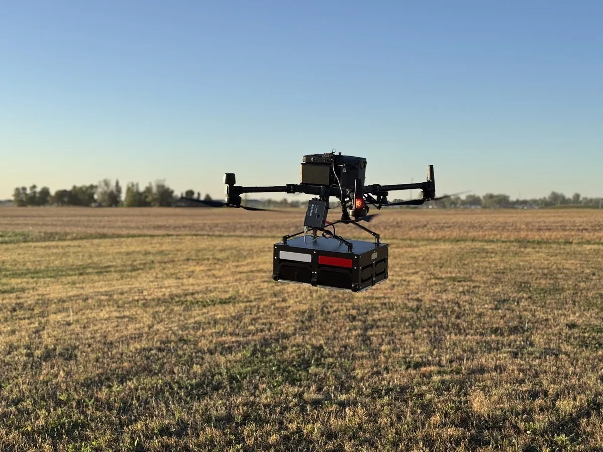
The airborne option: the antenna flies a constant height above ground a cart could never cross — that access, not depth, is what it buys.
Northern Drone provides geophysical and aerial data-acquisition services. We are not a licensed land surveying or engineering firm, and "survey" on this page is used in the data-collection sense. Read the full licensure disclosure.