The Challenge
Foundation work on this site meant contending with shallow bedrock — and nobody knew exactly where it was. The crew's reality was digging until the bucket found rock, adjusting, and digging again: schedule burned on discovery work, with the alternatives being a probing campaign or a drilling program that would have cost real time and money before a single foundation went in.
The Approach
We flew the site with drone-mounted ground penetrating radar — the antenna slung beneath the aircraft at a constant height above grade, RTK position logged on every trace, covering all four acres in a single day while the site stayed active around it. The processed radar sections were picked for the bedrock return, and the picks became a continuous rock-depth surface across the whole site.
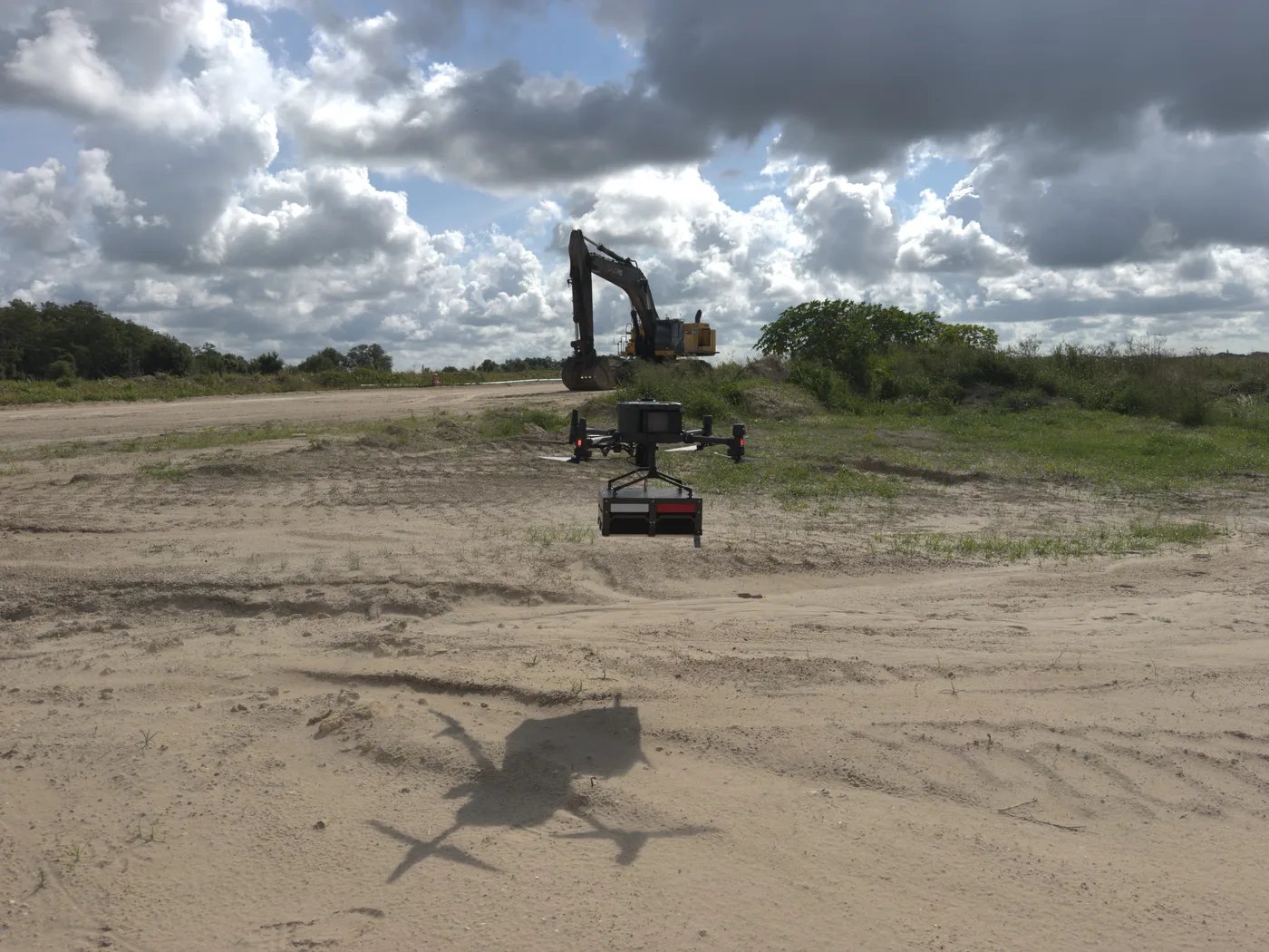
On site in Florida: the radar antenna holds a constant height above grade while the excavator keeps working behind it.
The Result
Deliverables landed within 72 hours: processed radar sections with the processing chain documented, and an interpolated bedrock-depth surface showing where the rock rises and where it drops across the site. Depths were verified on site — and held.
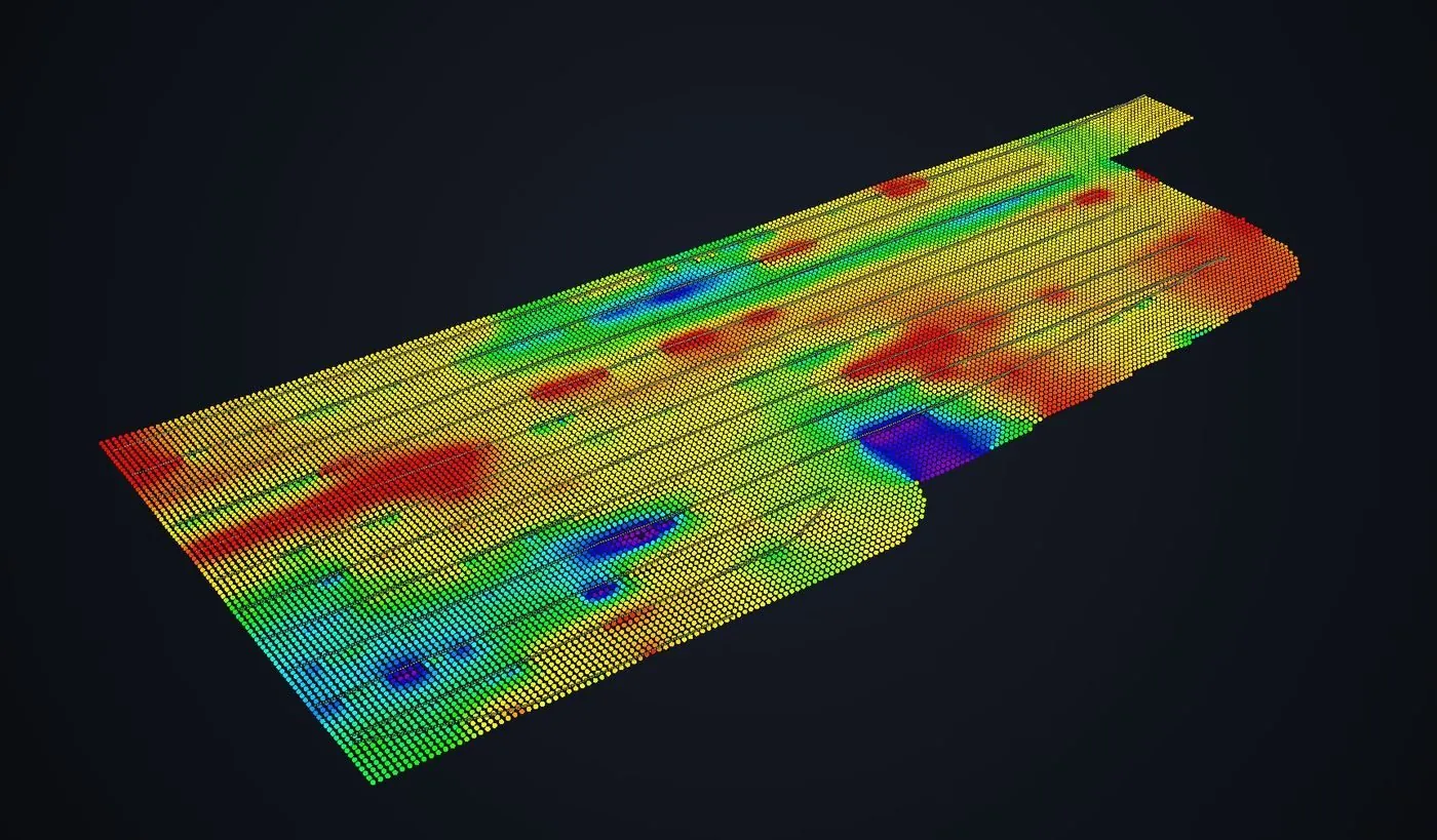
The deliverable: every point a picked bedrock return, interpolated into a depth surface. Warm is shallow rock; cool is deep. Flight lines stay visible so coverage can be audited.
For the client, the change was simple: excavation planning went from reactive to informed. No probing campaign, no drilling program, no discovering rock bucket by bucket — by their own estimate, the survey saved weeks on the project. The radar did exactly what they hoped it would, which is why the phrase we heard back was the one every contractor means as a compliment: it just worked.
Why It Worked
- Four acres in a day — coverage no probing program matches, collected while the site stayed active.
- A surface, not samples — probe holes give you points; the radar surface shows the shape of the rock everywhere the foundations go.
- Verified before it was trusted — depths checked on site against reality, and the report says where confidence is high and where it is not.
Client identity withheld by request. Northern Drone provides geophysical and aerial data-acquisition services and is not a licensed land surveying or engineering firm. Read the full licensure disclosure.