Drone Survey Services in St. Cloud, Minnesota
St. Cloud is about 175 miles from our West Fargo base down I-94, close enough that we fly it as a short deployment and often on the way to the Twin Cities. It is Granite City for a reason: the quarries in and around St. Cloud, Rockville and Cold Spring are some of the oldest working stone operations in the country, and they still need measured. Add the Mississippi River through the middle of town, one of the largest solar build-outs in the Midwest to the southeast, and the dairy and row-crop country of Stearns County, and it is a full day of survey work in every direction.
Work We Do Around St. Cloud
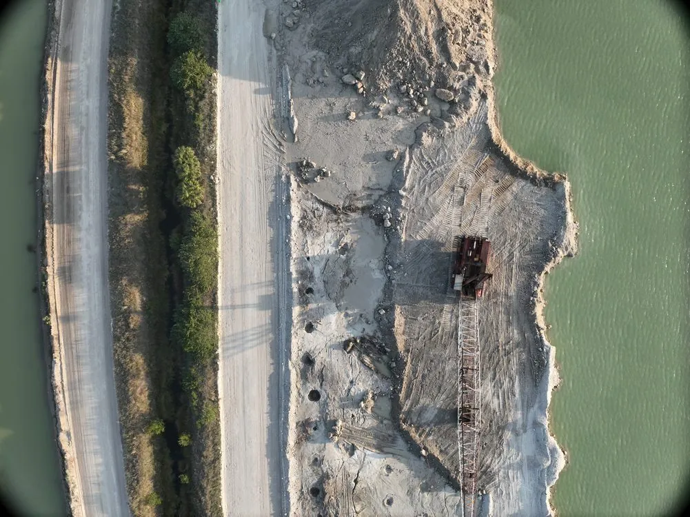
- Stockpile volumetrics — granite, aggregate and sand volumes at the quarries and yards of the St. Cloud area, with pit surfaces for extraction planning and an auditable per-pile report. See quarry and pit surveys.
- Solar thermal inspection — radiometric thermal inspection of the utility-scale solar arrays being built across Sherburne and Stearns Counties, delivered as a panel-level fault map and an IEC 62446-3 report. See solar energy.
- LiDAR mapping — pre-construction terrain and drainage models, corridor LiDAR for the transmission lines converging on the Sherburne County power corridor, and bare-earth under the oak and pine along the river.
- Bathymetric surveys — Mississippi River edge, quarry pit lake, gravel pit and stormwater pond depth and sediment surveys without a boat crew.
- Drone-based GPR — buried utility screening on campus and industrial sites, and granite bedrock depth for foundation design where the rock is close to the surface.
- Agricultural surveys — calibrated crop and forage mapping across corn, soybean and alfalfa ground in Stearns, Benton and Morrison Counties.
Why a Regional Crew in St. Cloud
Central Minnesota has a quarry problem and a solar problem, and both are measurement problems. Granite pits have vertical faces and deep water that keep ground crews at the edge; a drone flies the face, the floor and the water in one visit. Utility-scale solar arrays run to hundreds of acres where a walking inspection samples a fraction of the panels; a radiometric thermal flight covers every panel and reports each fault with its temperature. We bring both sensors on the same trip.
St. Cloud Regional Airport has Class D airspace over the east side of the city that we handle through LAANC before mobilizing; the quarries, farms and most of the solar sites are outside it. Data is processed in West Fargo and back within 72 hours. Northern Drone is a drone data-collection firm, not a licensed land surveying firm; when a project requires certified deliverables, we partner with licensed professionals who review and stamp the final product.
Service Area Around St. Cloud
From St. Cloud we cover Sauk Rapids, Sartell, Waite Park, St. Joseph, Cold Spring, Rockville, Becker, Big Lake, Elk River, Monticello, Little Falls, Alexandria and Willmar, and the farm and lake country of Stearns, Benton, Sherburne, Wright and Morrison Counties. Statewide, see our Minnesota service page.
St. Cloud Drone Survey FAQ
A modest line item; St. Cloud is under three hours from our base and often on the way to Twin Cities work, so it is frequently shared with other sites on the same trip. Multi-site programs in central Minnesota are sequenced into one deployment.
Yes. A radiometric thermal flight at solar noon on a clear day covers the full array while it is generating, and the deliverable is a georeferenced, severity-ranked fault map with an IEC 62446-3 compliant report. Published U.S. rates run $150–$500 per megawatt at utility scale; each site is quoted individually.
Yes. The dry faces and floor are flown with LiDAR or photogrammetry and the water is flown with a drone-mounted echo sounder, delivered on one coordinate system with the pit volume above and below the waterline.
Northern Drone is a drone data-collection firm, not a licensed land surveying firm. When a St. Cloud project requires deliverables certified by a Professional Land Surveyor or Engineer, we perform the field acquisition in partnership with licensed professionals who review and stamp the final product.
Have a Site in St. Cloud and central Minnesota?
Tell us where it is and what you need measured. Scoped quote within one business day, with travel shown as one line, not buried in a day rate.
Get a St. Cloud Quote →