Drone Survey Services in Brainerd, Minnesota
Brainerd is about 160 miles from our West Fargo base, under three hours on US-10, a short deployment we often combine with Bemidji or St. Cloud. The Brainerd Lakes area is a construction market built on water and trees: resorts, lake homes and golf courses on wooded shoreline, a growing year-round population, and the sand and gravel operations that supply all of it. Shoreline and lake bathymetry, LiDAR under canopy, airborne GPR and aggregate volumetrics are what we fly here most.
Work We Do Around Brainerd
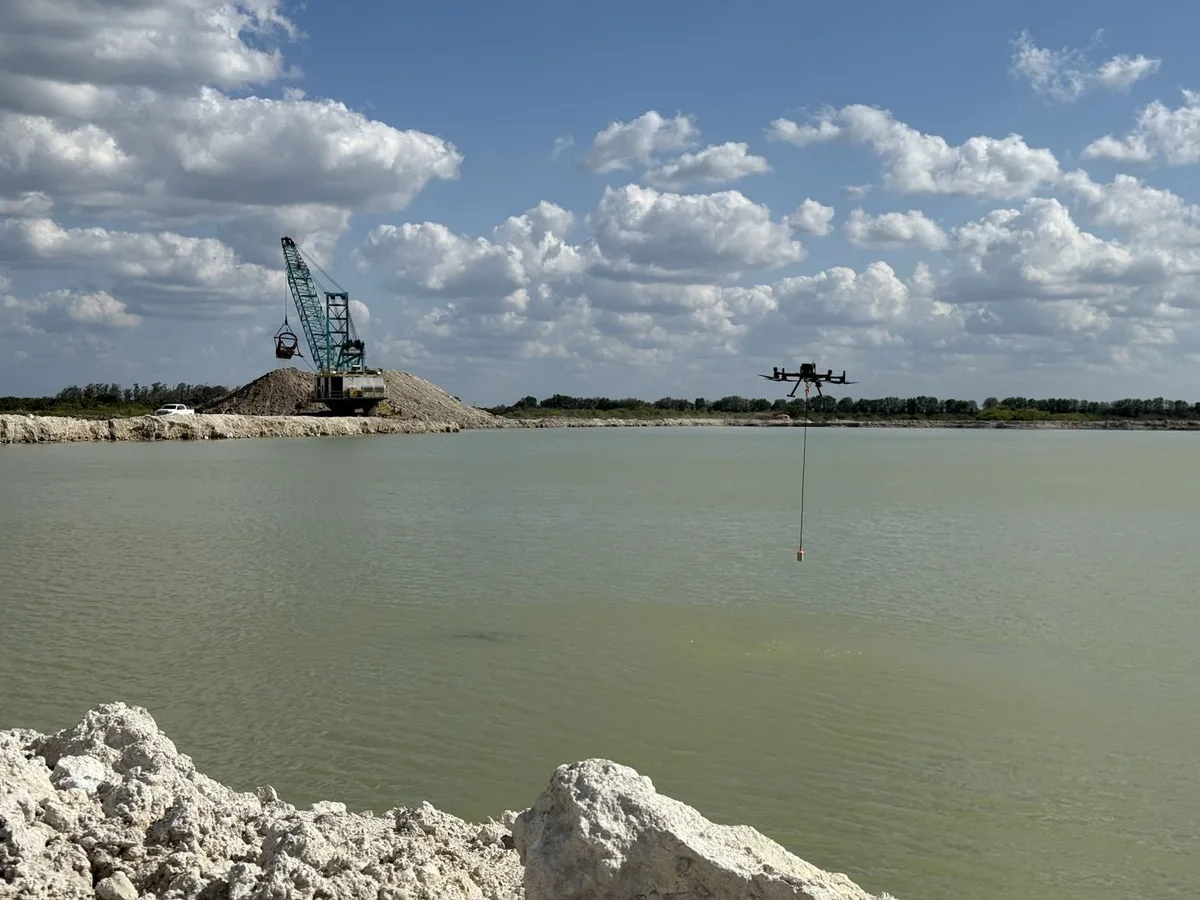
- Lake and pond bathymetry — depth, sediment and shoreline mapping of lakes, bays, channels and ponds for lake associations, developers, cities and watershed districts, with no boat crew. See also dredging and sedimentation surveys.
- LiDAR mapping — bare-earth terrain under pine and hardwood for resort, residential and golf course design, drainage and stormwater models on sandy soils, and corridor LiDAR for the lines crossing Crow Wing and Cass Counties.
- Stockpile volumetrics — sand, gravel and aggregate volumes at the pits and yards of the Brainerd Lakes area, with pit surfaces for extraction planning and an auditable per-pile report.
- Drone-based GPR — buried utility screening on resort, campus and redevelopment sites, and peat and wetland profiling before shoreline and low-ground construction.
- Thermal inspection — roof moisture and envelope surveys on resort, commercial and institutional buildings, and electrical inspection.
Why a Regional Crew in the Brainerd Lakes
Lake-country construction lives at the edge of the water and under the trees, which is exactly where ground survey slows down and drone survey does not. The shoreline, the near-shore bottom and the wooded lot above it are flown in one visit and delivered on one coordinate system, so a site plan, a dock permit and a stormwater design come from the same data. Sandy soils drain fast and move easily, so repeat flights that show change are often the most useful survey of all.
Brainerd Lakes Regional Airport has controlled airspace near the field that we handle through LAANC before mobilizing; most lake and development sites are outside it. Shoreline work follows DNR and county shoreland rules for the specific lake, which we check before scheduling. Data is processed in West Fargo and back within 72 hours. Northern Drone is a drone data-collection firm, not a licensed land surveying firm; when a project requires certified deliverables, we partner with licensed professionals who review and stamp the final product.
Service Area Around Brainerd
From Brainerd we cover Baxter, Nisswa, Pequot Lakes, Crosslake, Crosby, Pine River, Aitkin, Little Falls, Wadena and Staples, and the lakes and forest of Crow Wing, Cass, Aitkin, Morrison and Todd Counties. Statewide, see our Minnesota service page.
Brainerd Drone Survey FAQ
A modest line item; the Brainerd Lakes area is under three hours from our base and is often paired with Bemidji or St. Cloud sites on the same trip so the travel is shared.
Yes, and it is the most common request we get in the Lakes area. LiDAR gives the wooded lot and the bank; the drone echo sounder gives the near-shore bottom; both land on one coordinate system so a site plan and a dock or riprap permit come from the same survey.
North-central Minnesota deployments usually run inside two weeks of an approved quote, faster for time-critical work, and shoreline work is scheduled around ice-out and the DNR’s seasonal rules. Data delivery follows our standard 72-hour turnaround, 36 hours with rush processing.
Northern Drone is a drone data-collection firm, not a licensed land surveying firm. When a Brainerd project requires deliverables certified by a Professional Land Surveyor or Engineer, we perform the field acquisition in partnership with licensed professionals who review and stamp the final product.
Have a Site in The Brainerd Lakes area?
Tell us where it is and what you need measured. Scoped quote within one business day, with travel shown as one line, not buried in a day rate.
Get a Brainerd Quote →