Drone Survey Services in Williston, North Dakota
Williston is the far end of our home state, roughly 410 miles and a long day from West Fargo, and it is where the survey work is densest per acre: thousands of well pads, the gathering and transmission pipelines that connect them, saltwater disposal sites, frac sand and aggregate yards, and the reclamation surfaces that follow. We fly Williston and the Bakken as planned deployments, usually a week at a time, sequencing pads, corridors and yards into one trip. Airborne GPR for depth of cover is the service that brings us out most; LiDAR, bathymetry and stockpiles ride along on the same mobilization.
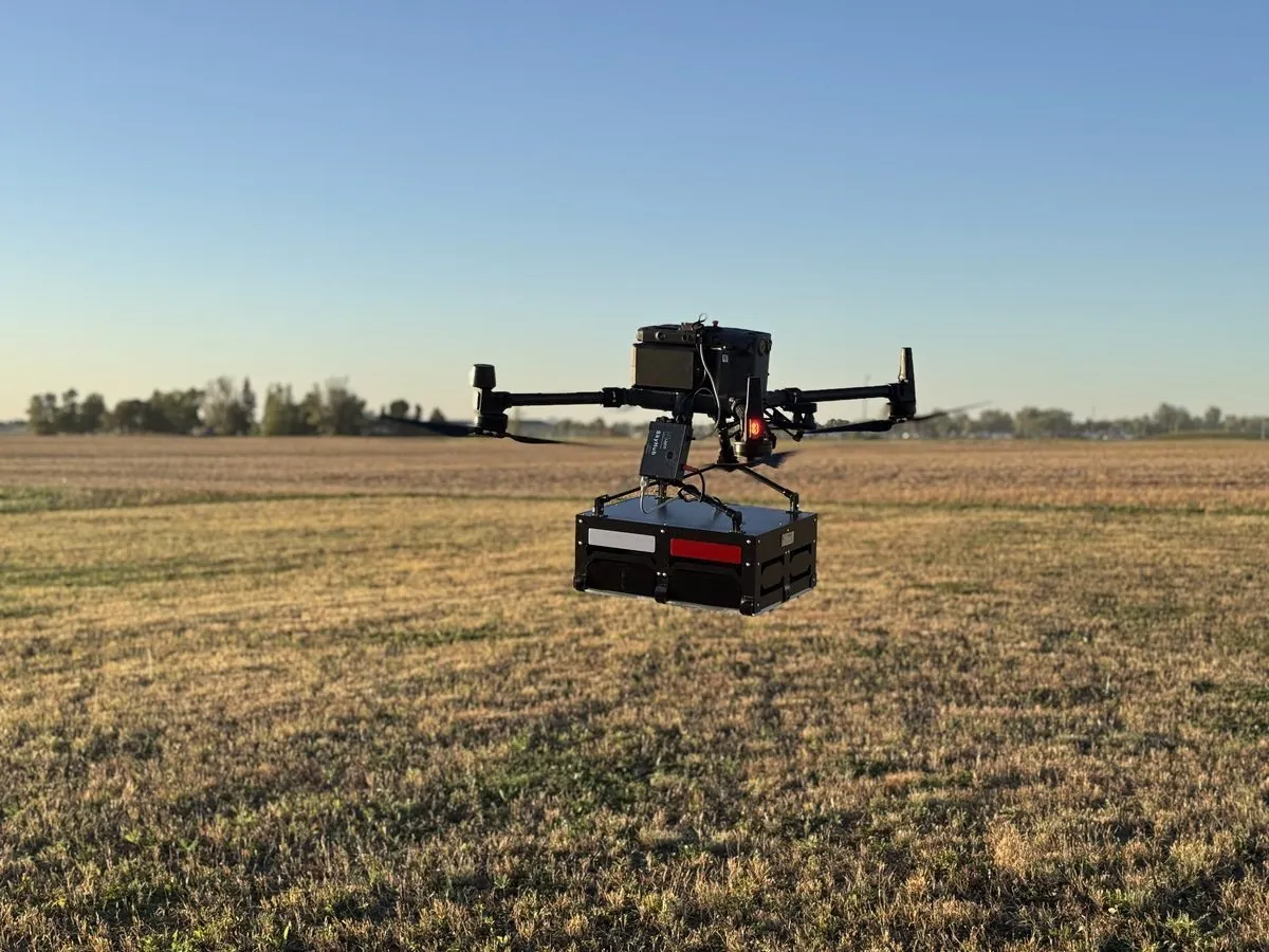
Work We Do Around Williston
- Pipeline depth of cover — cover depth along gathering and transmission lines measured from the air with GPR, no potholing crew and no exposure on the right-of-way, delivered as a profile and a GIS layer your integrity team can file. See drone GPR.
- LiDAR mapping — well pad and lease road surfaces, corridor LiDAR for pipeline routing and encroachment, cut-and-fill for pad construction, and reclamation surfaces that document the ground was returned to grade.
- Bathymetric surveys — freshwater and produced-water pit depth and volume, reservoir and Lake Sakakawea shoreline mapping, and sediment surveys without putting anyone on the water.
- Stockpile volumetrics — frac sand, aggregate, scoria and gravel yard volumes with an auditable per-pile report, flown without stopping loader traffic.
- Thermal inspection — radiometric surveys of tank batteries, heater-treaters, electrical gear and facility roofs, with every anomaly reported with its temperature and the capture conditions.
Why a North Dakota Crew in the Bakken
Oilfield survey work is about access, safety and repetition. Access, because the sites are spread across four counties on gravel section roads and the crew that knows the Williston Basin road grid saves a day per trip. Safety, because every site has an operator safety program, a company man to clear through, and H2S and traffic hazards that a drone crew respects by staying off the pad and in the air. Repetition, because the same pads, pits and corridors need measuring again next quarter, so the data has to be delivered in the operator’s coordinate system and formats the first time.
Williston Basin International Airport has controlled airspace that we handle through LAANC before mobilizing; most field sites are uncontrolled. We are a North Dakota company flying our own state, not a national broker routing the job to whoever is available, and the data is processed in West Fargo and back within 72 hours of the last flight, which on a week-long deployment means the first sites are delivered before we are home.
Service Area Around Williston
From Williston we cover Watford City, Alexander, Ray, Tioga, Stanley, Crosby, the Lake Sakakawea shore and the Fort Berthold area, and across the state line to Sidney and Fairview in Montana. Statewide, see our North Dakota service page.
Williston Drone Survey FAQ
Yes, as one transparent line item, and it is the reason we plan Bakken work as multi-site deployments. A single pad is expensive to fly from anywhere; a week of pads, corridors and yards spreads the same mobilization across all of them. Tell us the full list and we will sequence it.
The GPR antenna flies one to three meters above the right-of-way and records the reflection from the pipe at each point along the line. The result is a continuous cover-depth profile and a georeferenced layer showing where cover is shallow, from the air, with no potholing crew and no excavation. Soil type and moisture affect penetration, and we say so at scoping rather than promise a depth we cannot see.
Yes. Our pilots carry the certifications most operators require for site access, we clear every flight with the company man, and the aircraft stays off the pad and out of the traffic pattern. We follow the operator’s program rather than ask them to adapt to ours.
Northern Drone is a drone data-collection firm, not a licensed land surveying firm. When a Williston project requires deliverables certified by a Professional Land Surveyor or Engineer, we perform the field acquisition in partnership with licensed professionals who review and stamp the final product.
Have a Site in Williston and the Bakken?
Tell us where it is and what you need measured. Scoped quote within one business day, with travel shown as one line, not buried in a day rate.
Get a Williston Quote →