Drone Survey Services in Moorhead, Minnesota
Moorhead is our home metro. Northern Drone is based in West Fargo, five miles across the Red River, which makes Moorhead, Dilworth, Glyndon, Hawley and the rest of Clay County the fastest work we do: scheduled in days, sometimes the same day, with no travel line on the quote. It is also the Minnesota side of the biggest civil project in the region, the FM Area Diversion, and the heart of the Red River Valley sugar beet and small-grain economy. LiDAR, agricultural surveys, airborne GPR, stockpiles, bathymetry and thermal, flown by the crew that lives here.
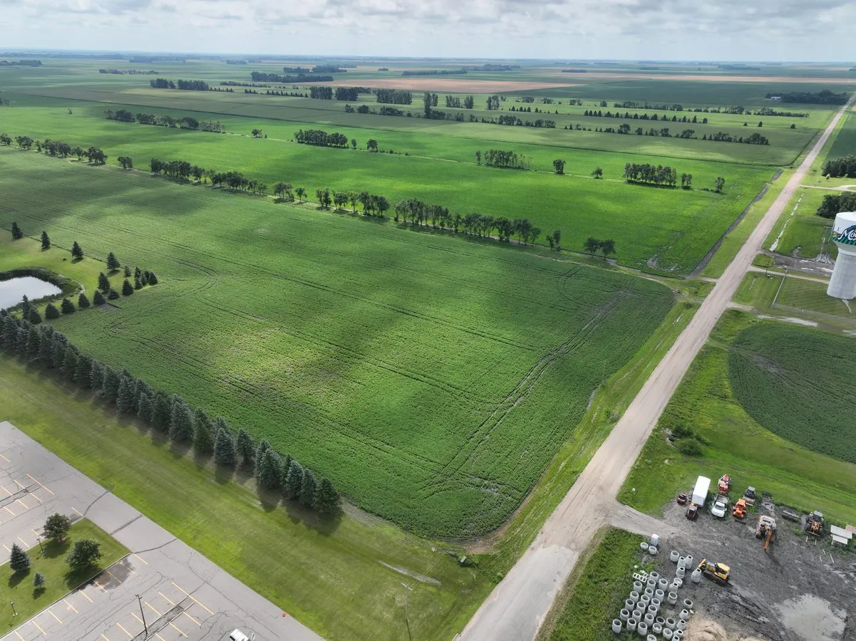
Work We Do Around Moorhead
- LiDAR mapping — bare-earth terrain and drainage for the flattest ground in the Valley, levee, floodwall and diversion-related surfaces, pre-construction models for industrial, campus and residential sites, and corridor LiDAR for the lines crossing Clay County.
- Agricultural surveys — calibrated NDVI and NDRE across the sugar beet, corn, soybean, wheat and dry bean acres of Clay, Wilkin and Norman Counties, 1,000+ acres a day, with prescription-ready zone maps.
- Drone-based GPR — buried utility screening on campus and industrial sites, lake-bed clay and till depth for foundation design, and peat and wetland mapping on the beach ridges and organic soils east of the city.
- Stockpile volumetrics — sugar, aggregate, salt and grain pile volumes for processors, producers and public works yards, with an auditable per-pile report at month-end.
- Bathymetric surveys — depth and sediment surveys of stormwater ponds, the Buffalo River, and the gravel pits along the beach ridges, with no boat on the water.
- Thermal inspection — roof moisture and envelope surveys on commercial, campus and industrial buildings, and electrical and solar inspection.
Why the Home Crew Matters in Moorhead
Everything that makes the Red River Valley hard to survey is routine for us because we do it every week: the flatness that turns a few centimeters of elevation into a drainage decision, the clay that holds water in spring and cracks in August, the wind that cancels more flights than rain, and the flood season that arrives before the field season. We fly Moorhead with the same RTK and ground-control discipline we use everywhere, and the checkpoint residuals are on the report.
Hector International’s Class D airspace crosses the river and covers part of Moorhead, so some city sites need LAANC authorization, which we hold as a matter of routine. Clay County outside the metro is uncontrolled. Data is processed five miles away and is often back the same week. Northern Drone is a drone data-collection firm, not a licensed land surveying firm; when a Minnesota project requires deliverables certified by a Professional Land Surveyor, we partner with licensed PLS firms who review and stamp the final product.
Service Area Around Moorhead
From Moorhead we cover Dilworth, Glyndon, Hawley, Barnesville, Sabin, Georgetown, Hitterdal, Ulen and Hendrum, and the wider Valley from Breckenridge and Wahpeton to Ada, Detroit Lakes and Fergus Falls. See the Fargo–West Fargo page for the North Dakota side of the metro and the Minnesota service page for the rest of the state.
Moorhead Drone Survey FAQ
No. Moorhead, Dilworth and Clay County are our home metro, five miles from the shop, with no travel line on the quote. Scheduling is in days, sometimes the same day for a small site when the weather cooperates.
Yes. Hector’s Class D airspace extends across the river over part of Moorhead, and we hold LAANC authorization for the altitude block a site needs as a matter of routine. Most of Moorhead east of the core and all of rural Clay County are uncontrolled.
Yes, and it is some of the work we do most. Calibrated multispectral flights across sugar beet, corn, soybean, wheat and dry bean ground in Clay, Wilkin and Norman Counties, 1,000+ acres a day during the season, delivered as NDVI and NDRE maps and prescription-ready zones within 72 hours.
Northern Drone is a drone data-collection firm, not a licensed land surveying firm. When a Moorhead project requires deliverables certified by a Professional Land Surveyor or Engineer, we perform the field acquisition in partnership with licensed professionals who review and stamp the final product.
Have a Site in Moorhead and Clay County?
Tell us where it is and what you need measured. Scoped quote within one business day, with travel shown as one line, not buried in a day rate.
Get a Moorhead Quote →