Drone Survey Services in Jamestown, North Dakota
Jamestown is 95 miles west on I-94, inside our same-region schedule with no mobilization fee. It is also a more industrial town than its size suggests: the Spiritwood Energy Park east of the city, the potato and ethanol processing that goes with it, two Corps of Engineers reservoirs above the city on the James and Pipestem Rivers, and a farm economy that runs from the Drift Prairie east to the Valley. LiDAR, bathymetry, airborne GPR, stockpiles, agricultural and thermal surveys, flown by a crew that can be on site within days.
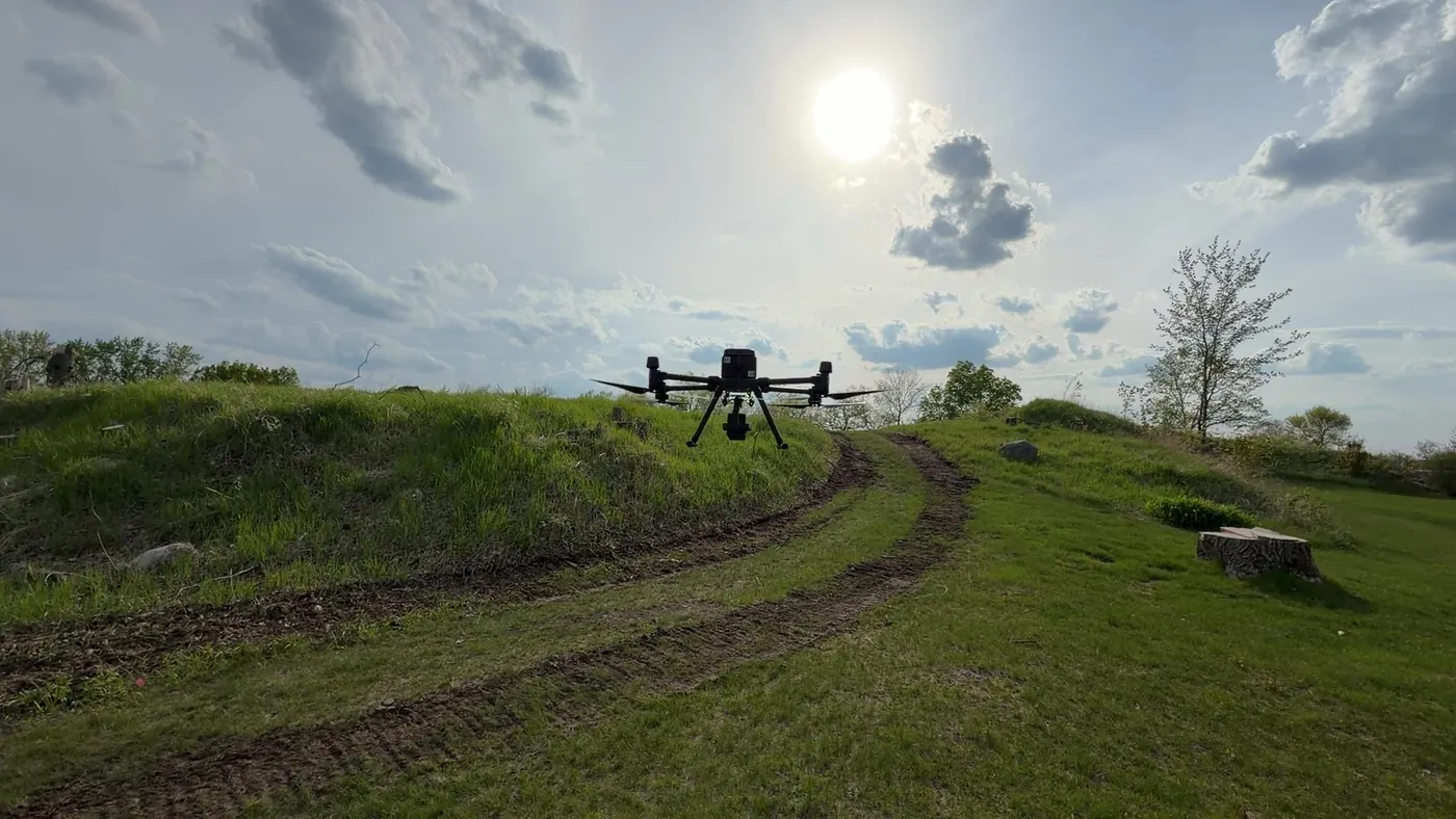
Work We Do Around Jamestown
- Bathymetric surveys — depth and sediment surveys on Jamestown Reservoir, Pipestem Reservoir, stock dams and the gravel pits along the James River, with volumes for dredging, capacity and permit work and no boat on the water. See lake and pond bathymetry.
- LiDAR mapping — terrain and drainage models for the James River valley and the city’s flood-prone low ground, pre-construction surfaces for industrial and energy park sites, and corridor LiDAR for the transmission lines and wind-farm collection systems in Stutsman and Barnes Counties.
- Agricultural surveys — calibrated NDVI and NDRE across corn, soybean, wheat, sunflower and potato acres, 1,000+ acres a day, with prescription-ready zone maps.
- Thermal inspection — radiometric surveys of processing plant roofs and electrical gear, substations, and the solar projects being built along the I-94 corridor.
- Drone-based GPR — buried utility screening on plant and campus sites, till and clay depth for foundation design, and depth of cover on the pipelines serving the energy park.
Why a Same-Region Crew in Jamestown
Jamestown is close enough that we fly it the way we fly Fargo: scheduled within days, no travel line, and the same crew back for the repeat flight next quarter. That matters for reservoir and pit work, where the useful survey is the second one that shows what changed, and for agricultural work, where the window between emergence and canopy closure is a few weeks.
Jamestown Regional Airport sits in uncontrolled airspace outside the immediate approach paths, so most sites fly without authorization delays. Reservoir work on Corps-managed water follows their access rules, and energy park sites follow the plant’s safety program. Data is processed in West Fargo and back within 72 hours.
Service Area Around Jamestown
From Jamestown we cover Valley City, Carrington, Cooperstown, LaMoure, Edgeley, Ellendale, Oakes, Steele and Medina, and the wind and farm country of Stutsman, Barnes, Foster and LaMoure Counties. Statewide, see our North Dakota service page.
Jamestown Drone Survey FAQ
No. Jamestown and Stutsman County are inside our same-region schedule from West Fargo, 95 miles down I-94, with no mobilization line item. Most sites are scheduled within days of an approved quote, weather and wind permitting.
Yes, within the Corps of Engineers’ access rules for each project. Drone bathymetry maps depth and sediment along the shoreline, in bays and at boat ramps and intakes without a boat crew, and ties to the dry-land LiDAR on the same coordinate system for capacity and dredging work.
Typically within days of an approved quote, weather and wind permitting. Data delivery follows our standard 72-hour turnaround, 36 hours with rush processing.
Northern Drone is a drone data-collection firm, not a licensed land surveying firm. When a Jamestown project requires deliverables certified by a Professional Land Surveyor or Engineer, we perform the field acquisition in partnership with licensed professionals who review and stamp the final product.
Have a Site in Jamestown and Stutsman County?
Tell us where it is and what you need measured. Scoped quote within one business day, with travel shown as one line, not buried in a day rate.
Get a Jamestown Quote →