Drone Survey Services in Grand Forks, North Dakota
Grand Forks is 80 miles up I-29 from West Fargo, which makes it same-region work for us: no mobilization fee, scheduled within days. It is also one of the most survey-intensive cities in the region. The flood protection system built after 1997 means levees, floodwalls, pump stations and the English Coulee all need current terrain and drainage data; the sugar beet and small-grain acres around the city need calibrated crop maps; and the two Grand Forks economies, agriculture and aviation, both run on measured ground.
Work We Do Around Grand Forks
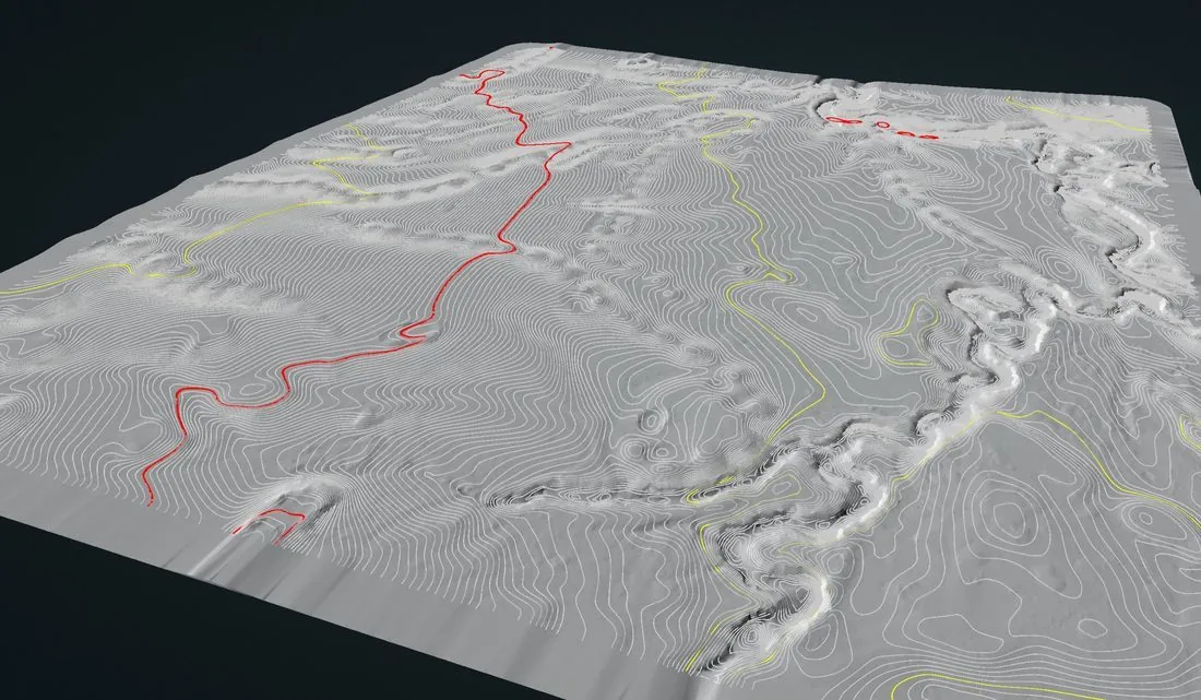
- LiDAR mapping — bare-earth terrain and drainage models across the flattest ground in North America, levee and floodwall surfaces, corridor surveys for the transmission and distribution lines radiating from the city, and pre-construction models for industrial and campus work.
- Agricultural surveys — calibrated NDVI and NDRE across the sugar beet, wheat, soybean, potato and dry bean acres of Grand Forks, Walsh, Traill and Polk Counties, 1,000+ acres a day during the season.
- Drone-based GPR — buried utility screening on campus and industrial sites, till and clay depth for foundation design in the lake-bed soils, and peat and wetland mapping east of the river.
- Stockpile volumetrics — aggregate, sugar, salt and grain pile volumes for producers, processors and the city and county public works yards.
- Bathymetric surveys — depth and sediment mapping for stormwater ponds, coulee impoundments and the gravel pits along the river, with no boat on the water.
Why a Red River Valley Crew in Grand Forks
Grand Forks is where the Red River Valley’s survey problem is sharpest. The ground is so flat that a few centimeters of elevation decide where water goes, which is why drainage and flood work here demands survey-grade vertical accuracy, not a photogrammetric estimate. Our LiDAR is flown with RTK and ground checkpoints and delivered with the residuals, so an engineer can verify the number rather than take it on trust.
The airspace is the other local fact. Grand Forks International has Class D airspace over the west side of the city, and Grand Forks Air Force Base to the west has its own restricted and controlled airspace. We hold LAANC authorization for the Class D block before we leave West Fargo, and we do not fly sites inside the base’s boundaries without the specific approvals they require. East Grand Forks, across the river, is a short drive and the same crew.
Service Area Around Grand Forks
From Grand Forks we cover East Grand Forks, Thompson, Manvel, Larimore, Northwood, Hillsboro and Mayville to the south, Grafton, Drayton and Park River to the north, and Crookston and the Minnesota side of the Valley. Statewide, see our North Dakota service page.
Grand Forks Drone Survey FAQ
No. Grand Forks and East Grand Forks are inside our same-region schedule from West Fargo, 80 miles down I-29, with no mobilization line item. Most sites are scheduled within days of an approved quote, weather and wind permitting.
The airport’s Class D airspace is handled through LAANC authorization before we mobilize. Grand Forks Air Force Base has restricted airspace that LAANC does not cover; sites in or near it require base coordination and FAA approval, which takes longer, so tell us early if your site is west of town.
With RTK positioning and independent ground checkpoints, vertical accuracy is routinely within a few centimeters, and the deliverable reports the checkpoint residuals. On ground this flat that is the difference between a drainage design that works and one that does not.
Northern Drone is a drone data-collection firm, not a licensed land surveying firm. When a Grand Forks project requires deliverables certified by a Professional Land Surveyor or Engineer, we perform the field acquisition in partnership with licensed professionals who review and stamp the final product.
Have a Site in Grand Forks–East Grand Forks?
Tell us where it is and what you need measured. Scoped quote within one business day, with travel shown as one line, not buried in a day rate.
Get a Grand Forks Quote →