Drone Survey Services in Dickinson, North Dakota
Dickinson is about 295 miles west of our West Fargo base on I-94, the gateway to the southern Bakken and the Badlands, and a city that grew fast enough during the boom that its infrastructure is still catching up. That shows up as survey work: pipeline corridors and well pads to the north and west, scoria and gravel pits that supply every lease road in the region, new subdivisions and industrial parks that need pre-construction terrain, and the ranch and small-grain country that surrounds all of it. We fly Dickinson as a planned deployment, usually paired with sites toward Watford City or Bismarck.
Work We Do Around Dickinson
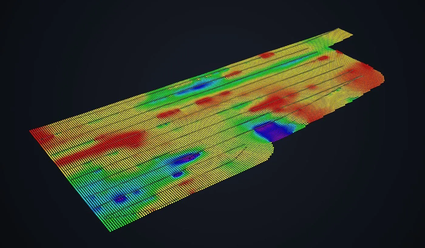
- Pipeline depth of cover — cover-depth profiles along gathering and transmission lines from airborne GPR, with no potholing crew on the right-of-way. See drone GPR.
- Stockpile volumetrics — scoria, gravel and aggregate pit volumes for the producers that supply lease roads and pads, with an auditable per-pile report at month-end.
- LiDAR mapping — pad and lease road surfaces, pipeline corridor LiDAR, and pre-construction terrain and drainage models for subdivisions and industrial sites on the rolling ground around the city.
- Bathymetric surveys — depth and volume of stock dams, freshwater pits and the reservoirs that serve both ranches and oilfield operations, flown without a boat.
- Agricultural surveys — calibrated crop-health mapping across wheat, canola, sunflower and hay ground in Stark, Dunn and Hettinger Counties.
Why a North Dakota Crew in Dickinson
Southwest North Dakota is where the flat Valley survey problem turns into a terrain survey problem. The ground rolls, drains fast, and hides buried lines under a thin, dry cover that GPR reads well. Scoria pits have irregular faces that a tape and a guess will not measure. And the Badlands to the west are a reminder that the national park and the grasslands have their own flight rules, which we respect; we do not fly inside Theodore Roosevelt National Park.
Dickinson Theodore Roosevelt Regional Airport sits in uncontrolled airspace outside the immediate approach paths, which simplifies planning for most sites. Oilfield work follows the operator’s safety program, and we schedule Dickinson deployments to pick up pads, pits and corridors on the same trip. Data is processed in West Fargo and back within 72 hours.
Service Area Around Dickinson
From Dickinson we cover Belfield, Killdeer, Richardton, Hebron, Glen Ullin, New England, Bowman and the Highway 85 corridor north toward Watford City, and the Badlands margins outside the park. Statewide, see our North Dakota service page.
Dickinson Drone Survey FAQ
Dickinson is roughly 295 miles from our base and is quoted with travel as a single transparent line item. We make it small by pairing Dickinson sites with Bismarck–Mandan or Watford City work on the same trip, so tell us everything that needs measuring and we will sequence it.
Yes. Photogrammetric stockpile and pit volumes with surveyed ground control come in at 1–2% accuracy regardless of how irregular the face is, and the report lists the base surface used so the number can be audited by a buyer or an auditor.
We do not fly inside Theodore Roosevelt National Park; national parks prohibit drone launch and landing. Private and state land around the park is flyable, and we check the Little Missouri National Grassland rules for the specific tract before scheduling.
Northern Drone is a drone data-collection firm, not a licensed land surveying firm. When a Dickinson project requires deliverables certified by a Professional Land Surveyor or Engineer, we perform the field acquisition in partnership with licensed professionals who review and stamp the final product.
Have a Site in Dickinson and the southern Bakken?
Tell us where it is and what you need measured. Scoped quote within one business day, with travel shown as one line, not buried in a day rate.
Get a Dickinson Quote →