Drone Survey Services in Rochester, Minnesota
Rochester is about 320 miles from our West Fargo base, a planned deployment we usually pair with Twin Cities or Mankato work. It is one of the fastest-building cities in the state, and it sits on some of the most interesting ground: the karst limestone of southeast Minnesota, where sinkholes, voids and shallow bedrock decide what a site can hold. Airborne GPR is built for that question. LiDAR, quarry and stockpile volumetrics, bathymetry and thermal inspection round out what we fly here.
Work We Do Around Rochester
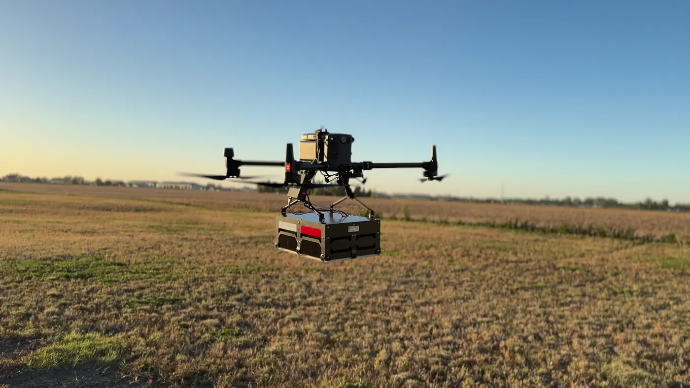
- Drone-based GPR — bedrock depth, void and sinkhole screening on karst ground before design or excavation, and buried utility screening on campus, medical-district and industrial sites. See drone GPR.
- LiDAR mapping — pre-construction terrain and drainage models for the bluff-and-valley ground around the city, corridor LiDAR for the transmission lines and pipelines crossing Olmsted County, and bare-earth under the hardwood canopy of the river valleys.
- Stockpile volumetrics — limestone quarry and aggregate yard volumes with an auditable per-pile report, and pit surfaces for extraction planning and reclamation.
- Bathymetric surveys — stormwater pond, reservoir and quarry pit depth and sediment surveys, including the flood control reservoirs above the city, with no boat crew.
- Thermal inspection — roof moisture and envelope surveys on commercial, institutional and medical-district buildings, and electrical and solar inspection.
Why Airborne GPR Matters in Rochester
Southeast Minnesota is karst country. The limestone under Rochester dissolves along fractures, which produces sinkholes, voids and bedrock that is two feet down in one spot and twenty in the next. Ground-coupled GPR crews can profile a small site; airborne GPR covers a whole parcel in a morning and shows where the shallow rock and the voids are before a geotechnical program is designed. On the same visit, LiDAR gives the terrain and drainage under the hardwood canopy and the quarries get an inventory.
Rochester International Airport has controlled airspace south of the city that we handle through LAANC before mobilizing; most of the city and the county fly without authorization delays. Data is processed in West Fargo and back within 72 hours. Northern Drone is a drone data-collection firm, not a licensed land surveying firm; when a project requires deliverables certified by a Professional Land Surveyor or Engineer, we partner with licensed professionals who review and stamp the final product.
Service Area Around Rochester
From Rochester we cover Byron, Stewartville, Kasson, Pine Island, Zumbrota, Red Wing, Winona, Austin, Albert Lea, Owatonna and Faribault, and the bluff country of Olmsted, Winona, Fillmore, Houston and Goodhue Counties. Statewide, see our Minnesota service page.
Rochester Drone Survey FAQ
Yes, as one transparent line item, and we usually pair Rochester with Twin Cities, Mankato or Winona work on the same trip so it is shared. Multi-site programs in southeast Minnesota are sequenced into one deployment.
It can screen for them. Airborne GPR profiles the shallow subsurface across the whole parcel and shows where bedrock is shallow and where the signal indicates a void or a disturbed zone. It is a screening tool that tells your geotechnical engineer where to bore, not a replacement for the borings, and we say so in the report.
Southeast Minnesota deployments usually run inside two weeks of an approved quote, faster for time-critical work. Data delivery follows our standard 72-hour turnaround, 36 hours with rush processing.
Northern Drone is a drone data-collection firm, not a licensed land surveying firm. When a Rochester project requires deliverables certified by a Professional Land Surveyor or Engineer, we perform the field acquisition in partnership with licensed professionals who review and stamp the final product.
Have a Site in Rochester and southeast Minnesota?
Tell us where it is and what you need measured. Scoped quote within one business day, with travel shown as one line, not buried in a day rate.
Get a Rochester Quote →