Drone Survey Services in Minot, North Dakota
Minot sits about four hours northwest of our West Fargo base on US-2, and it has as much survey work per square mile as any city in the state. The Mouse River flood protection program that followed the 2011 flood is a decade-long sequence of levees, floodwalls, channel work and property acquisition that all needs current terrain. The northern edge of the Bakken brings pipeline and pad work. And the durum, canola and small-grain country around the city is some of the most productive dryland farming in the country. We fly all of it as a planned deployment, usually combining several sites into one trip.
Work We Do Around Minot
- LiDAR mapping — terrain and drainage models for the Souris River valley and the flood protection corridor, pre-construction surfaces for projects on the valley slopes, and corridor LiDAR for the transmission lines and pipelines crossing Ward County.
- Bathymetric surveys — river backwater, detention basin and gravel pit depth mapping with no boat crew, plus sediment surveys where the river has slowed and dropped its load.
- Drone-based GPR — depth of cover and buried line screening for the gathering systems on the northern edge of the oilfield, and till depth and buried utility work on city and campus sites.
- Agricultural surveys — calibrated NDVI and NDRE across durum, canola, pea, lentil and spring wheat acres in Ward, McHenry, Renville and Bottineau Counties.
- Stockpile volumetrics — aggregate, salt and grain pile volumes for producers, elevators and public works yards across the region.
Why a North Dakota Crew in Minot
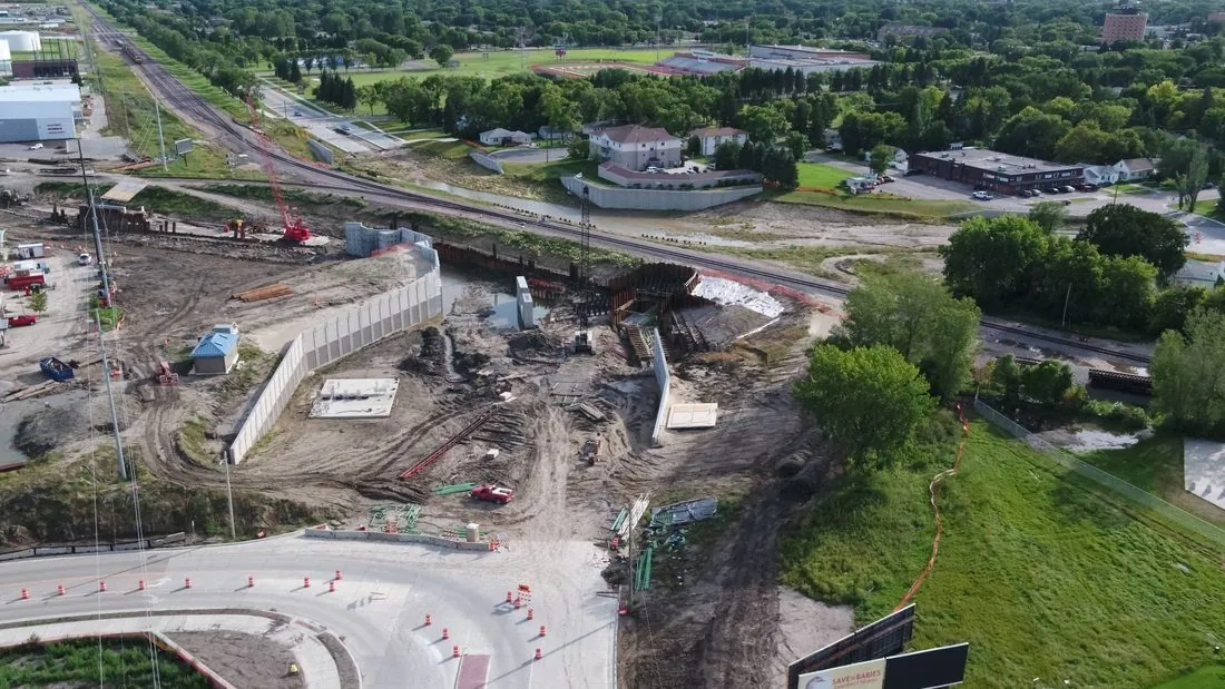
The Souris River valley is the thing to understand about Minot survey work. The river loops through the city in a tight floodplain with the town on the slopes above it, and the flood protection program has been reshaping that floodplain since 2011. Any project in the valley needs terrain data that is current to the month, not the LiDAR the county flew years ago, and it needs vertical accuracy good enough to tie to the project datum. That is what we deliver, with checkpoint residuals on the report.
Minot International Airport has Class D airspace over the north side of the city, and Minot Air Force Base, thirteen miles north, has its own restricted airspace and a security posture we respect: we do not fly near the base without the approvals it requires. In the city, we hold LAANC authorization before we mobilize. Oilfield sites follow the operator’s safety program, and we schedule the trip so that pads, pipeline corridors and valley sites get flown in one deployment.
Service Area Around Minot
From Minot we cover Burlington, Surrey, Velva, Kenmare, Stanley, Garrison and the Lake Sakakawea shore, Bottineau and the Turtle Mountains, and Rugby and the Highway 2 corridor east. Statewide, see our North Dakota service page.
Minot Drone Survey FAQ
Minot is about 265 miles from our base, so travel is quoted as one transparent line item. The way to make it small is to batch: we routinely combine a valley site, an oilfield site and a farm or elevator into one trip so the mobilization is shared. Tell us everything that needs measuring and we will sequence it.
Minot International’s Class D airspace covers the north part of the city and is handled through LAANC before we arrive. Minot Air Force Base is a different matter: its airspace is restricted, LAANC does not apply, and we fly near it only with the specific approvals required. Most of the city and the valley south of the airport are outside both.
Yes. We coordinate with the contractor and the project engineer, fly around active work without stopping it, and deliver surfaces and volumes in the project coordinate system so they tie directly to the design. Repeat flights give a dated record of progress and pay quantities.
Northern Drone is a drone data-collection firm, not a licensed land surveying firm. When a Minot project requires deliverables certified by a Professional Land Surveyor or Engineer, we perform the field acquisition in partnership with licensed professionals who review and stamp the final product.
Have a Site in Minot and the Souris River valley?
Tell us where it is and what you need measured. Scoped quote within one business day, with travel shown as one line, not buried in a day rate.
Get a Minot Quote →